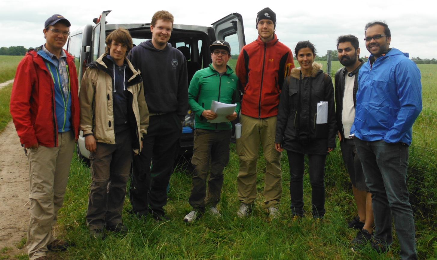
The first field methods course in our EAGLE MSc programme took place in the JECAM test site of DEMMIN-Germany (close to the city of Demmin in Mecklenburg-Vorpommerania) from 12.- 17.6.2017. Six EAGLE students, one colleagues of DLR, Dr. Erik Borg, and two lecturers, Thorsten Dahms MSc, and Dr. Christopher Conrad, went to the field to learn more about the utilization of GPS and measuring biophysical parameters in the field.
All students conducted field measurements of crop height, cover fractions, FPAR (using a sun scan device), LAI (with destructive sampling, sun scan and LAI2000), and chlorophyll (using SPAD). Later they downloaded the data and initially analysed the data with explorative statistics. Most interesting was the intercomparison of three different GPS samples and different sampling methods to measure LAI in the field. Further, the EAGLE students participated in the first SAR-Intercomparison experiment of JECAM by collecting land use samples in the area of the observation site. The pictures should give some impression about the field and computer work during the seminar.