About
Courses
- Advanced spatial python
- Urban forms & society

Recent News
MSc defense by Magdalena Halbgewachs
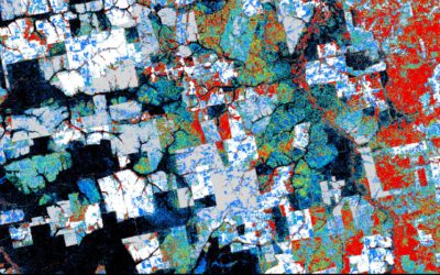
Magdalena Halbgewachs will present her MSc thesis "A Spectral Mixture Analysis and Landscape Metrics based framework for monitoring spatio-temporal forest cover changes: A case study in Mato Grosso, Brazil" on Wednesday 16th of June at 9am. From the abstract: More and...
Review of applications
Dear all applicants in 2021, we are currently working through the first evaluation of all 230 applications and will send out invitations for interviews in the next days/weeks. Unfortunately we are a bit delayed due to the high number of applications and we want to...

high number of application submitted for 2021
The application deadline for the 2021 EAGLE generation passed yesterday and 230 application were submitted. That are 80 more than last year. Check out who started in the 2020 EAGLE generation here. We are now going through each single one and check for general...
EAGLE 2021 application deadline approaching
the application deadline for our international Earth Observation M.Sc. program EAGLE is slowly approaching. Apply before May 15th to be reviewed and potentially interviewed for a place in the 2021 EAGLE group. Check out our courses, our lecturer and most important...

Internship, inno lab and MSc idea presentations
On Thursday, May 20th, at 2pm the following students will present their internship, inno lab or MSc thesis idea: Christopher Chan:“Patching up old Deep Learning code and working with data center remotely” (Internship with DLR, supervisor Benjamin Leutner) Diego...
internship and MSc idea presentation
on Tuesday April 6th 3pm we will have the folling internship and MSc idea presentations: Joy-Giovanni Matabishi, " MESMA of DESIS data to identify Rooftops in Kigali"- Internship/EKUT Luisa Pflumm, "Comparison of the performance of different accessibility layers for...
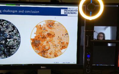
Great Earth Observation presentations despite distance learning
Despite the online courses we learned and managed to deliver great presentations on remote sensing data analysis in our courses and also improved our virtual presentation skills which might also partially be valuable in future conference or workshop presentations.
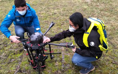
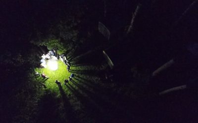
Our EAGLE students with UAV and field work jackets
Our EAGLE students preparing our UAVs with thermal, multispectral and Lidar sensors for the upcoming field work season. Also wearing our new field work jackets so that we all are easily recognizable as Earth Observation researchers.
MSc thesis defense by Patrick Sogno
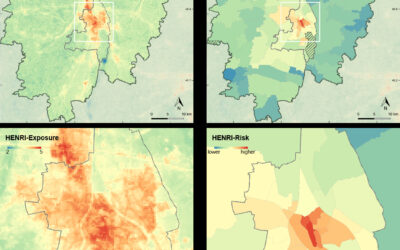
On Monday, 25th of January at 10 a.m., Patrick Sogno will present his M.Sc. thesis "Earth Observation for Exposome Mapping – Proof of Concept and Case Study in Augsburg, Germany". from the abstract: "Non-communicable diseases – NCDs – (asthma, cancer, or diabetes, for...
internship, inno lab and MSc idea
On Monday 21st of December at 10am we will have the following presentations: Camilo (Internship)"Forest cover change between 2000 and 2020 in El Chaco ecoregion, Paraguay" at DLR Johannes Mast (Thesis Idea):"Measuring Urban Polycentricity using Remote Sensing"...
Our Courses
No Results Found
The page you requested could not be found. Try refining your search, or use the navigation above to locate the post.