Inno lab and MSc idea presentation

On Friday 8th of April from 9am onwards we will have the following EAGLE presentations:

“Assessment of open-source street-level imagery for building classification in Lima, Peru” by Larissa Gorzawski (Inno lab supervised by Hannes Taubenböck and Christian Geiß)

“Classification of seismic building types in Lima (Peru) with street-level imagery and deep transfert learning methods” by Larissa Gorzawski (MSc. thesis idea supervised by Hannes Taubenböck and Christian Geiß)

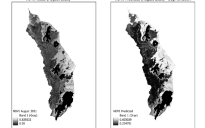
“Low cost UAV data acquisition in Biosphärenreservat Rhön” by Helena Wehner (inno lab supervised by Martin Wegmann)

read more news:

Integrating R and Whitebox Tools for Geospatial Analysis

Integrating R and Whitebox Tools for Geospatial Analysis

Within the EAGLE M.Sc. program our Earth Observation students have managed to understand some important research approaches within just the first term of their studies. Integrating and working with several environments simultaneously is a critical tasks for their...

Empowering Future Earth Observation Experts! 🌍

Empowering Future Earth Observation Experts! 🌍

At EAGLE, our Earth Observation students are diving deep into the fascinating world of geospatial analysis! Through hands-on training, they master cutting-edge algorithms and techniques to address pressing environmental challenges such as Georisk Assessment:...