
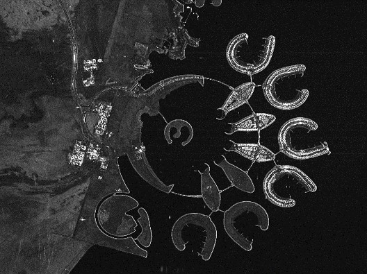
On November 05, 2024, Jannik Hoffmann will present his InnoLab results on ” Deep Learning-driven Image Super-Resolution for TerraSAR-X” at 12:00 in seminar room 3, John-Skilton-Str. 4a.
From the abstract: High-resolution satellite Synthetic Aperture Radar (SAR) data is crucial in many application areas such as defence, urban and infrastructure monitoring, disaster response, or business intelligence solutions. However, those are currently limited by high costs and technical compromises between image resolution and coverage area. This project employs cutting-edge artificial intelligence to enhance the resolution of SAR images to provide affordable high-resolution data with wide coverage. The objectives of the Innovation Lab within the Geo-Intelligence division at Airbus included various preprocessing tasks of Terra-SAR-X Radar data and the development, training and evaluation of a super-resolution model adapted to the acquired data.
Supervisor: Prof. Dr. Tobias Ullmann
Hosting Institution: Airbus Defence and Space
From the abstract: High-resolution satellite Synthetic Aperture Radar (SAR) data is crucial in many application areas such as defence, urban and infrastructure monitoring, disaster response, or business intelligence solutions. However, those are currently limited by high costs and technical compromises between image resolution and coverage area. This project employs cutting-edge artificial intelligence to enhance the resolution of SAR images to provide affordable high-resolution data with wide coverage. The objectives of the Innovation Lab within the Geo-Intelligence division at Airbus included various preprocessing tasks of Terra-SAR-X Radar data and the development, training and evaluation of a super-resolution model adapted to the acquired data.
Supervisor: Prof. Dr. Tobias Ullmann
Hosting Institution: Airbus Defence and Space




![[Spotlight] Lecturer Spotlight: Julian Faeth](https://eagle-science.org/wp-content/uploads/2026/10/Julian_Faeth_EORC_EAGLE_2026-400x250.jpg)



