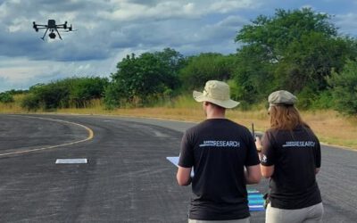
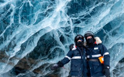
On Tuesday, August 20, 2024 at 10:00 a.m. Daniel Gruschwitz will present his internship “Small-scale 3D model generation by photogrammetry of alpine vegetation in Berchtesgaden National Park” in seminar room 3, John-Skilton-Str. 4a.
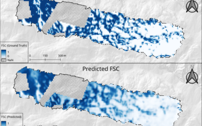
From the abstract: Nature in Germany’s only alpine national park is strictly protected. Consequently, unmanned aerial system (UAS) missions are permitted only under exceptional circumstances. Instead, a ground-based photogrammetry approach is employed, utilizing a camera, a control tablet, and an 8-meter extendable photomast to obtain structural information on high-alpine vegetation plots. Many of these 48 plots are located in remote and difficult-to-access areas, making extensive equipment use challenging. The resulting digital elevation model facilitates the determination of structural parameters characterizing the plots.
1st supervisor: Dr. Maninder Singh Dhillon
Hosting institution: Nationalpark Berchtesgaden
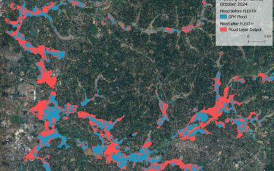
![FW: [EORC Talk] Pathways towards a Healthy City – 10 March 2026, 03 pm](https://eagle-science.org/wp-content/uploads/2026/03/image001.jpg)