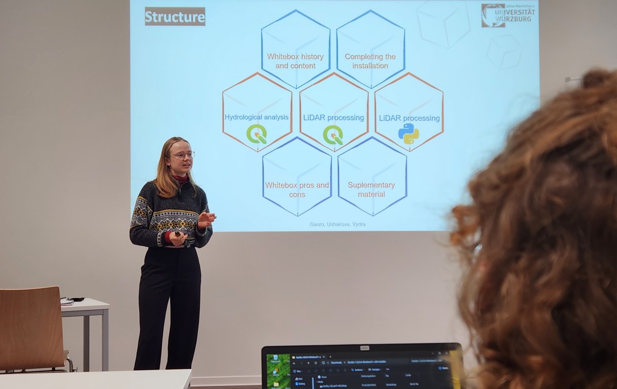
Today the whitebox software plus the python interface is introduced and nicely fits into the overarching framework of our EAGLE courses with Python programming or Lidar analysis. It provides additional analytical back-end functionality for GIS systems like QGIS. Due to the fact that we trained QGIS for various spatial tasks in the larger months, the use of whitebox functions with QGIS is easy and straight-forward.
EAGLE Internship Presentation “Stream flow assessment and Irrigation demand in Central Asia (Aral Sea)”
On February 05, 2026, Anugraha Das will present her internship results on " Stream flow assessment and Irrigation demand in Central Asia (Aral Sea )" at 12:00 in seminar room 3, John-Skilton-Str. 4a. From the abstract: This presentation assesses streamflow dynamics...


