
About
Stefan Dech is director of the German Remote Sensing Data Center (DFD) and current spokesman of the Earth Observation Center (EOC) at the German Aerospace Center (DLR). Since 2001 he has held the Chair of Remote Sensing at the Institute of Geography and Geology of the University of Würzburg. His research focuses on satellite remote sensing applications for terrestrial ecosystem research in the context of global change and sustainable land use.
University of Wuerzburg
head of the Remote Sensing department
Director of the DLR-DFD, Munich

Recent News
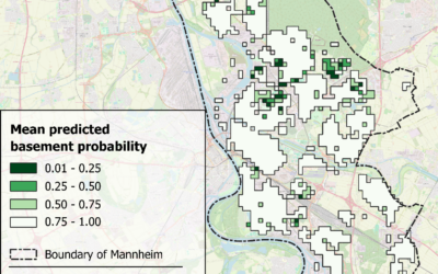
EAGLE MSc Defense: Machine Learning Inference of Building Basement Presence Using Street-Level Imagery and Multi-Source Geospatial Attributes: A Case Study of Mannheim, Germany
On July 01, 2026, Gökçe Yağmur Özcan will present her Master Thesis on " Machine Learning Inference of Building Basement Presence Using Street-Level Imagery and Multi-Source Geospatial Attributes: A Case Study of Mannheim, Germany " at 11:00 at the EORC...
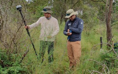
EAGLE Internship Presentation: Fire and drought research in savanna ecosystems – Kruger National Park
On June 16, 2026, Sebastian Rothaug and Clemens Schömig will present their internship results on " Fire and drought research in savanna ecosystems – Kruger National Park" at 12:00 PM in seminar room 3, John-Skilton-Str. 4a. From the abstract: Climate change is...
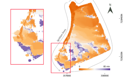
EAGLE MSc Defense: Feasibility of Unoccupied Aerial System-Based Active Fire Monitoring in African Savannas
On June 09, 2026, Anna Bischof will present her Master Thesis on " Feasibility of Unoccupied Aerial System-Based Active Fire Monitoring in African Savannas" at 12:00 in seminar room 3, John-Skilton-Str. 4a. From the abstract: Fire is a fundamental Earth system process...
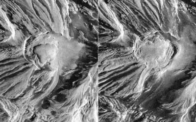
EAGLE Innolab Presentation: Temporal Analysis of Lava Dome Morphology and Crevasse Development at Great Sitkin Volcano
On June 02, 2026, Daniel Voellner will present his Innolab results on " Temporal Analysis of Lava Dome Morphology and Crevasse Development at Great Sitkin Volcano" at 12:00 in seminar room 3, John-Skilton-Str. 4a. title of presentation: From the abstract: Volcanic...
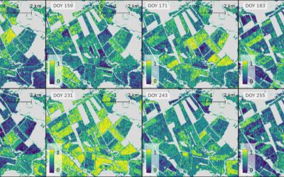
EAGLE MSc Defense: Evaluating the Potential of a Deep Learning Framework for Detecting Mowing Events in German Grasslands with Sentinel-1 InSAR Coherence
On May 22, 2026, Laura Obrecht will present her Master Thesis on " Evaluating the Potential of a Deep Learning Framework for Detecting Mowing Events in German Grasslands with Sentinel-1 InSAR Coherence" at 11:00 a.m. in room 01.B.03 (EORC meeting room 1st floor). From...
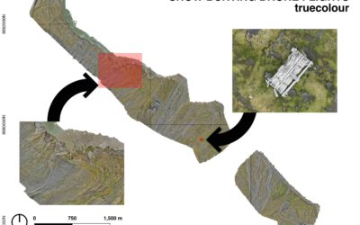
EAGLE Internship Presentation: Remote sensing for Ecological Applications in the High Arctic
On April 13, 2026, Clara Vydra will present her internship results on " Remote sensing for Ecological Applications in the High Arctic" at 15:30 in seminar room 3, John-Skilton-Str. 4a. From the abstract: This internship focused on supporting Master students in their...
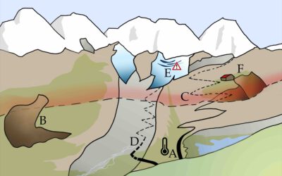
EAGLE MSc Defense: Current Status, Trends, and Future Challenges of the Alpine Cryosphere, Illustrated by an Example from the Hohe Tauern National Park
On April 27, 2026 Clara Vydra will present her Master Thesis on "Current Status, Trends, and Future Challenges of the Alpine Cryosphere, Illustrated by an Example from the Hohe Tauern National Park" at 14:00 in seminar room 3, John-Skilton-Str. 4a. From the abstract:...
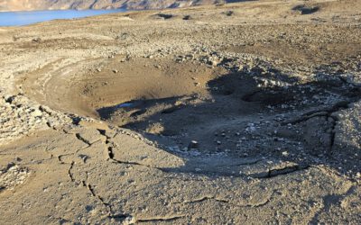
EAGLE Internship Presentation: Geomorphological Monitoring at Askja Caldera: Field Observations of Subsurface Instability
On April 28, 2026, Hanna Zoë Schulten will present her internship results on " Geomorphological Monitoring at Askja Caldera: Field Observations of Subsurface Instability" at 12:30 in seminar room 3, John-Skilton-Str. 4a. From the abstract: Volcanic calderas are...
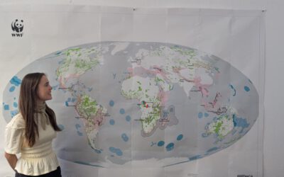
From Data to Impact: Viktoria Veith’s Internship at WWF
Understanding the environmental consequences of conflict is one of the most pressing challenges in contemporary Earth observation. During her internship at WWF, EAGLE MSc student Viktoria Veith has been working at the intersection of remote sensing, policy, and...
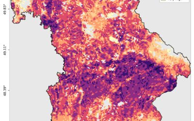
EAGLE MSc Defense: Developing a Farmland Habitat Biodiversity Indicator for Bavaria (in line with OECD Guidelines)
On March 31, 2026, Suriya Elango will present his Master Thesis on " Developing a Farmland Habitat Biodiversity Indicator for Bavaria (in line with OECD Guidelines)" at 12:00 in seminar room 3, John-Skilton-Str. 4a. From the abstract: Farmland Biodiversity is...