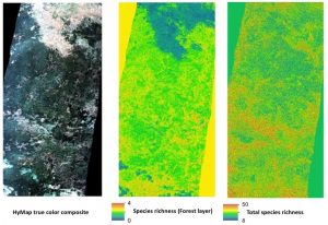
 Biodiversity analysis and conservation decision relies on adequate and meaningful data that are available on a long-term and global basis. Such environmental information need adequate spatial and temporal resolution and remote sensing data does provide a wide range of potentially suitable data sets. Various approaches concerning remote sensing data use for biodiversity and conservation exist to improve the application and integration. This is especially important since the use of remote sensing has increased widely over the past decades, and therefore interdisciplinary approaches foster the understanding of needed parameters for biodiversity monitoring, which provide guidance to observation systems as to what and how to measure key aspects of biodiversity. Multi-scale, multi-sensor and multi-temporal remote sensing data analysis do provide needed and crucial information for ecological analysis, especially within conservation applications, species distribution analysis or animal movement analysis. A variety of MSc topics is available aiming to improve remote sensing usage in ecology conservation, as well as its application. It is aimed at, that all MSc are in close collaboration with ecology or conservation organizations to support a truly interdisciplinary thesis. Martin Wegmann is dedicated to use his scientific network to organizations such as SCBI, ZSL, IUCN, UNEP-WCMC, WWF etc. for embedding EAGLE MSc thesis.
For more details, please see the webpage of Martin Wegmann and browse through the list of past MSc topics. Moreover, please visit www.remote-sensing-biodiversity.org for updates on data, events and publications related to remote sensing data analysis in ecology and conservation. Additionally, AniMove.org and EcoSens.org offer further details on potential MSc topics.

