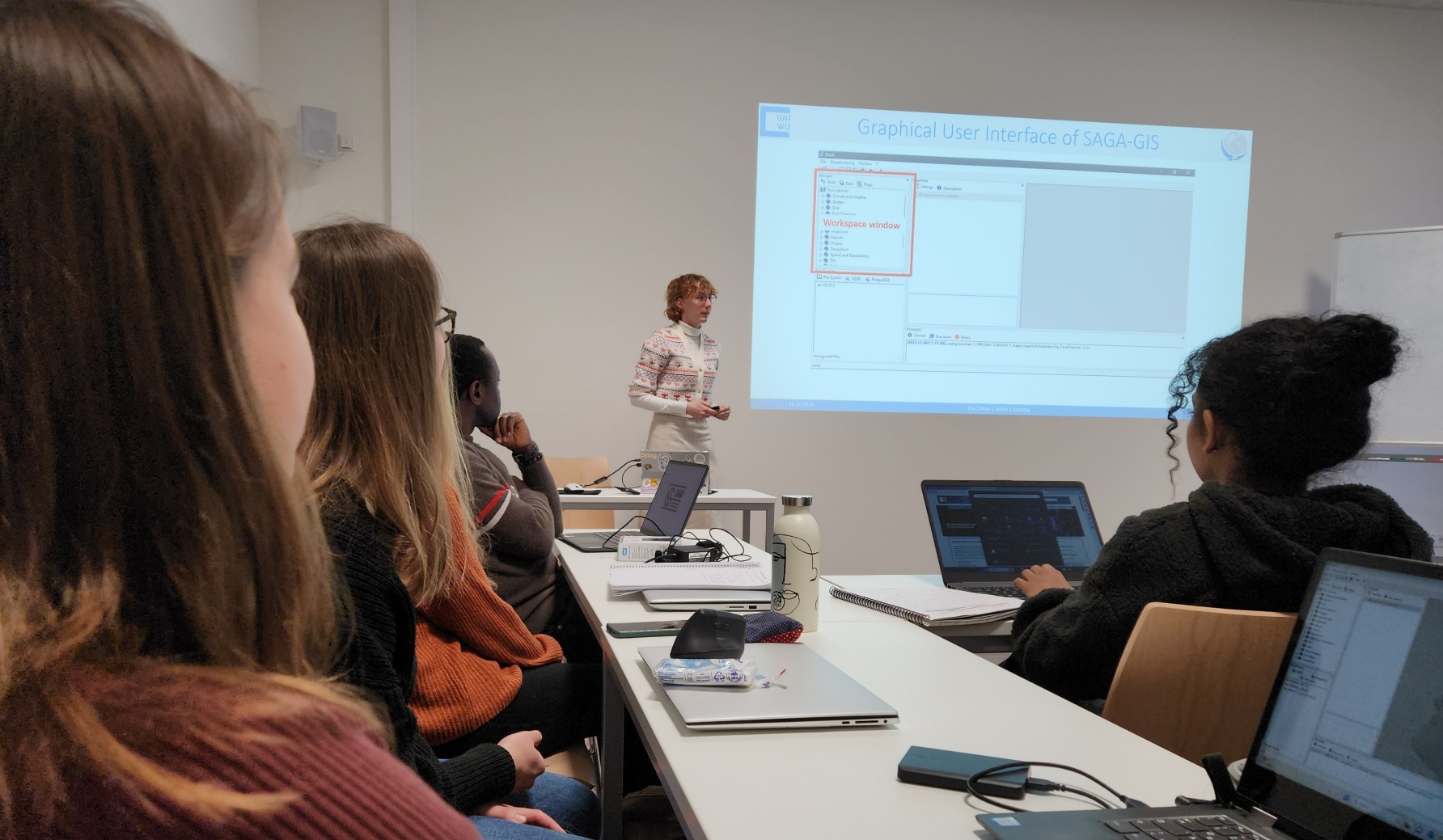
Very interesting and valuable for our young scientists to see the wealth of spatial scientific software available and getting to know for what kind of tasks these programs might be needed and gain experiences in using different environments.
EAGLE Innolab Presentation: “From UAV to Satellite: Fractional Snow Cover Estimation at Sentinel-2 Resolution”
On March 03, 2026, Lutz Kleemann will present his Innolab results on "From UAV to Satellite: Fractional Snow Cover Estimation at Sentinel-2 Resolution" at 12:00 in seminar room 3, John-Skilton-Str. 4a. From the abstract: Fractional Snow Cover (FSC) estimation is an...


