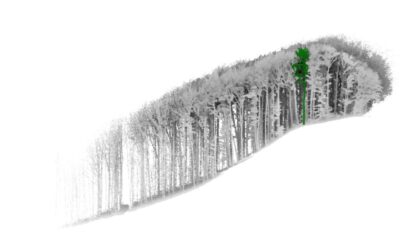
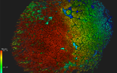
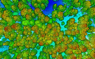
Aim
This module of the Urban Remote Sensing course aims to teach the practical workflow to analyze the spatiotemporal dynamics of urban systems employing state-of-the-art concepts and methods. Inter-city and intra-urban patterns based on single-date, multitemporal and time-series data will be detected and interpreted for cities located in different geographical contexts, to frame the diversity of urban configurations at different spatial scales. Research gaps and biases in the current operational frameworks to analyze urban systems will be discussed during the practical sessions. The OpenSource software R and QGIS will be employed during the practical module to focus on the analysis of (1) urban form (i.e., the spatial structure of cities), (2) the urban heat island effect, and (3) urban green infrastructure.
Coding
Coding examples and individual work will be covered
Software
Various software programs will be used, but mainly OpenSource software such as R.
Techniques
Different techniques will be introduced and practically applied.
Content
The content of scientific with regard to the audience will be discussed.
General Course News and Updates
Innovation Lab Presentation by Konstantin Müller
On Tuesday, July 18 at 11 a.m. Konstantin Müller will hold his Innovation Lab Presentation "Analysis of Twitter over New Year's Eve" From the abstract: Until this day, scientists have figured out urban data and structures as morphological or topological...
MSc defense and Inno-Lab presentations
On Tuesday 20th of December at 12am we will have various presentations MSc defense by Kevin Yomi on "Evaluation wildfire activity in conflict-affected areas using earth observation and panel regression models: a case study of Borno State, Nigera, from 2003-2020" In...
internship, innoLab and MSc idea presentations
On Tuesday 22nd of November at 12am we will have the following presentations: Dilara Kim: „Automated glacier snowline mapping from multi-sensor satellite observation“, InnoLab, EURAC Research, Supervisor: Dr. Martina Barandun Walid Ghariani: „PM2.5 Prediction Using...
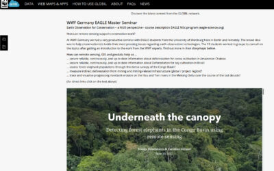
WWF course on applied Earth Observation
Our EAGLE students joint a course offered by the earth observation unit at WWF and learned how to apply remote sensing within a conservation NGO. They learned a lot and their results are published as story maps on their webpage...
Inno lab and internship presentations
On Friday, 8th of July, at 9:30 we will have the following presentations: Jana Maier (InnoLab at DLR): Multitemporal SAR Analysis for Sentinel-1 metrics based Land Cover Classification in West Africa - InnoLab in Agroecosystems and Phenology at DLR. Nora Nieskens...
internship, inno lab and MSc idea presentation
On Monday, 30th of May, from 10am onwards, we will have the following presentations: Ása Dögg (Inno-lab): "Potential of Sentinel-1 data for research and monitoring in Tröllaskagi peninsula, Iceland - Snow cover mapping using S-1 time series."Supervisors: Tobias...
Internship and Inno Lab presentations
On Friday 20th of May at 9am we will have the following internship and inno lab presentations: Andrea Cardenas (Internship at DLR): “Data analysis of the refugee crisis in West Africa and definition of test sites in NRW – Germany”supervisor: Martin Muehlbauer Ása Dögg...
inno lab and MSc defense Jakob Wachter
this Friday, 22nd of April, at 9am we will have one inno lab and one M.Sc. defense, both by Jakob Wachter. inno lab: "Assessment of climate-induced drought impact on crop types in bavaria" (Tobias Ullmann) M.Sc. defense: "Potential of webcam Imagery as reference data...
Inno lab and MSc idea presentation
On Friday 8th of April from 9am onwards we will have the following EAGLE presentations: "Assessment of open-source street-level imagery for building classification in Lima, Peru" by Larissa Gorzawski (Inno lab supervised by Hannes Taubenböck and Christian Geiß)...
MSc idea and inno lab presentations
On Friday 11th of March from 10am onwards the following students will introduce their MSc idea or report on their innovation laboratory: Kemeng Liu (MSc idea): "Mapping Spatial-Temporal Developments of Coastal Aquaculture" supervised by Tobias Ullmann Antonio...