
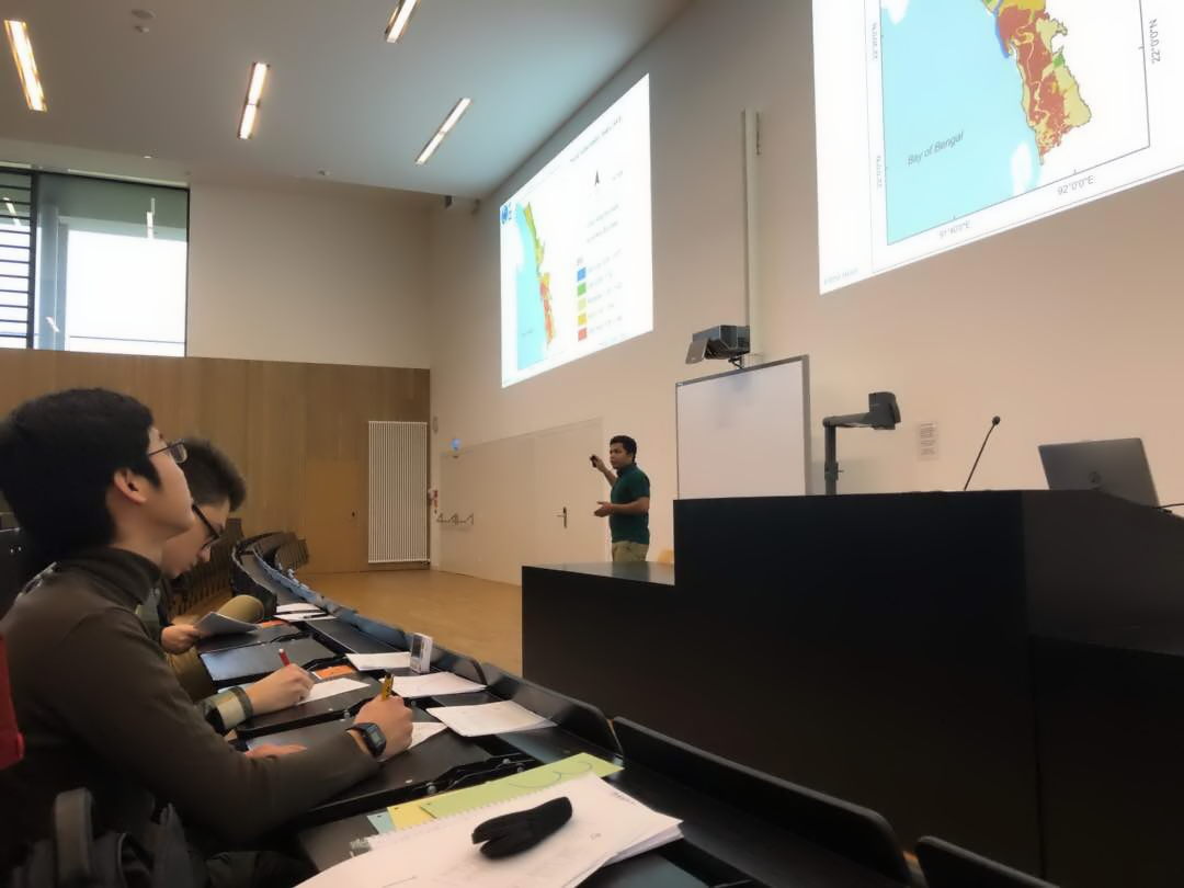
 As every term our students could participated in a scientific presentation course where they learned how to prepare, design and defend a scientific talk. Beside the theoretical part many practical exercises were part of this course and a final presentation in a large lecture room with interested colleagues to also get used to an actual lecture room that resembles a room within a conference. The presentation about remote sensing applications and especially the development from the first to the last day was impressive and we are very much looking forward to see our students presenting at future conferences.
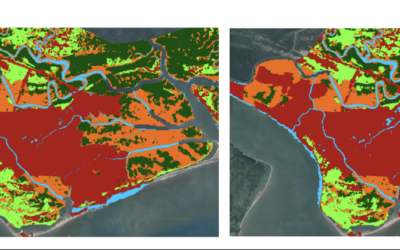
Master Thesis Defense: “Assessing the Mangrove Ecosystem in Eastern Obolo, Niger Delta” on Monday, March 18 at 11:30
On Monday, March 18, at 11:30 Hyeonmin Kang will present her master thesis on "Assessing the Mangrove Ecosystem in Eastern Obolo, Niger Delta" in seminar room 3, John-Skilton-Str. 4a. From the abstract: This study focuses on assessing the mangrove ecosystem in Eastern...


