
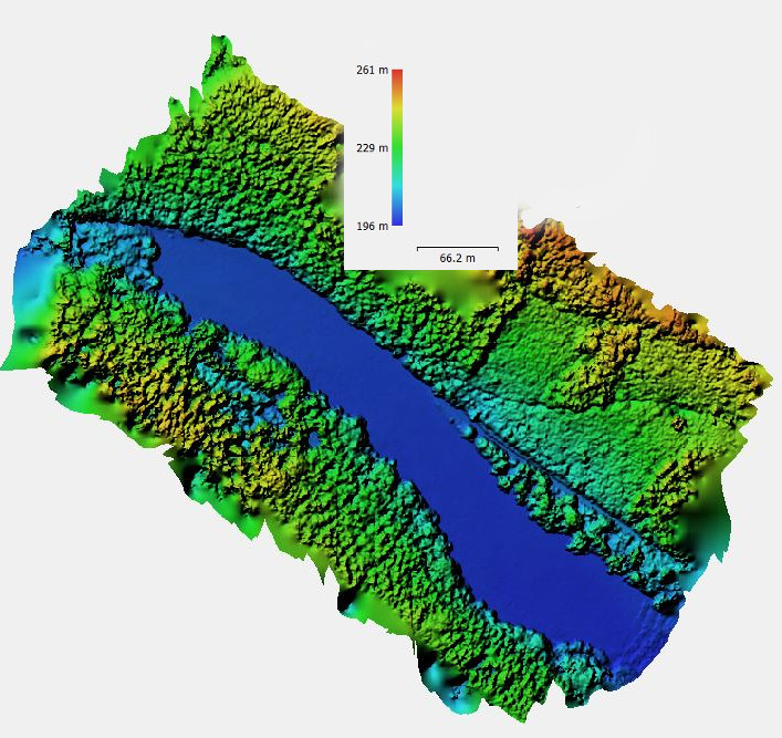
Short Presentation on UAV and LiDAR

This Friday at 12am we will have two brief presentations by colleagues from the Max-Planck-Insitute and University Göttingen in room 1.009 OKW 86, right after the student presentations:

Dr. Anne Scharf (MPI-AB) “The need for a closer look: how drones could fill in the widening gap in the scales of movement vs. environmental data”

Dr. Paul Magdon (Uni. Gö.) “Applications of 3D LiDAR in  forest management and ecology.”

read more news:

[spotlight] Lecturer Spotlight: Martin Wegmann

[spotlight] Lecturer Spotlight: Martin Wegmann

If you've ever sat in a Würzburg classroom learning how to wrangle satellite data, there's a good chance Martin Wegmann was the one standing at the front. He's been the driving force behind the EAGLE MSc program, the Applied Earth Observation degree at the University...

EAGLE Internship Presentation: Svalbard

EAGLE Internship Presentation: Svalbard

On July 07, 2026, Aoibhin Murphy and Marlene Sehrbrock will present her internship results on " Svalbard" at 12:00 in seminar room 3, John-Skilton-Str. 4a. From the abstract: Using thermal and RGB imagery collected via UAVs, we investigated the potential of thermal...

EireR R package: unified gateway to Irish geospatial data

EireR R package: unified gateway to Irish geospatial data

Anyone who's tried to do geospatial work across the whole island of Ireland knows the headache. Ireland is one island geographically, but it's split across two jurisdictions, the Republic and Northern Ireland, and each one runs its own data infrastructure. Different...






