
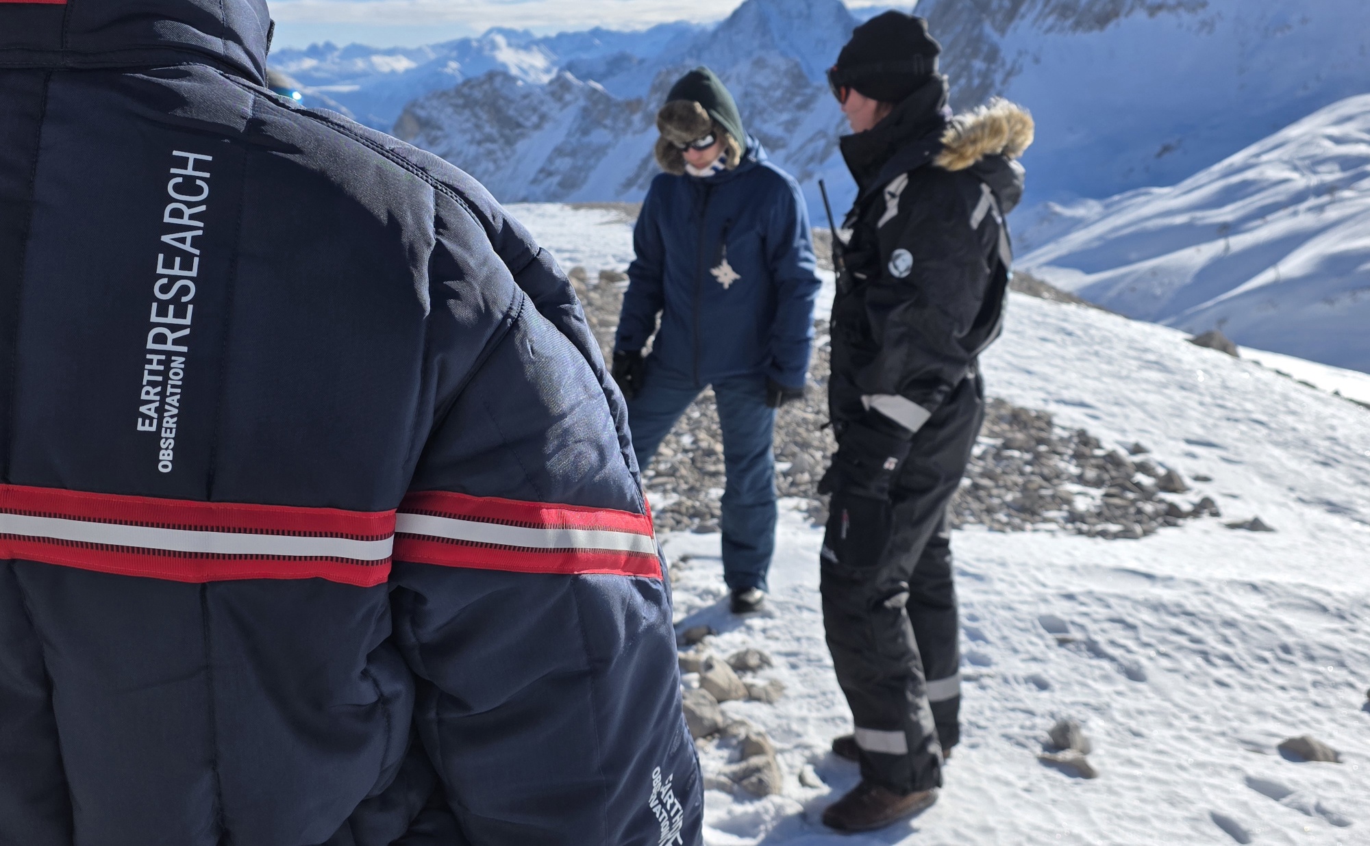
Snow Research at Schneefernerhaus, Zugspitze

Recently, our team carried out another successful field campaign at the Schneefernerhaus research station on the Zugspitze in the Alps. Together with our EAGLE students, we collected UAS-based environmental data alongside detailed in-situ measurements of snow properties. These complementary datasets form the foundation for advancing our understanding of snow characteristics in high-alpine environments.

Thanks to a very well-organized and motivated team, we were able to make efficient use of a short weather window that offered suitable conditions for both UAS flights and fieldwork. Careful planning and coordination allowed us to safely acquire high-quality data despite the challenging alpine setting and limited time frame.

The collected data will now be further analysed within the Earth Observation for Cold Regions and Earth Observation for Alpine Regions courses. EAGLE students will work hands-on with the UAS sensor data, link it to spatially distributed in-situ measurements, and perform a range of analyses. These include LiDAR-based snow height estimation as well as thermal and multispectral investigations of snow properties. Through this process, students gain practical experience in integrating field observations with remote sensing techniques in complex mountain environments.

read more news:

[spotlight] Lecturer Spotlight: Martin Wegmann

[spotlight] Lecturer Spotlight: Martin Wegmann

If you've ever sat in a Würzburg classroom learning how to wrangle satellite data, there's a good chance Martin Wegmann was the one standing at the front. He's been the driving force behind the EAGLE MSc program, the Applied Earth Observation degree at the University...

EAGLE Internship Presentation: Svalbard

EAGLE Internship Presentation: Svalbard

On July 07, 2026, Aoibhin Murphy and Marlene Sehrbrock will present her internship results on " Svalbard" at 12:00 in seminar room 3, John-Skilton-Str. 4a. From the abstract: Using thermal and RGB imagery collected via UAVs, we investigated the potential of thermal...

EireR R package: unified gateway to Irish geospatial data

EireR R package: unified gateway to Irish geospatial data

Anyone who's tried to do geospatial work across the whole island of Ireland knows the headache. Ireland is one island geographically, but it's split across two jurisdictions, the Republic and Northern Ireland, and each one runs its own data infrastructure. Different...

Impact of agrophotovoltaic facilities – an R package

Impact of agrophotovoltaic facilities – an R package

There's a new R package on the block, and it's solving a problem that sounds simple until you actually try to do it: how do you tell whether putting solar panels over a farm field is good or bad for the soil and the crops around them? Marlene, one of our EAGLE...

Successful MSc Defense by Anna Bischof

Successful MSc Defense by Anna Bischof

We congratulate Anna Bischof on the successful defense of her MSc thesis, "Feasibility of Unoccupied Aerial System-Based Active Fire Monitoring in African Savannas." Anna's research addressed one of the key challenges in fire ecology and remote sensing: understanding...






