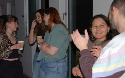
 Last week Steven Hill and Thorsten Dahms gave a course that introduced EAGLE students to Python-based spatial data analysis. The advantages and challenges of different python libraries, data sets and methods were covered in hands-on exercises and also discussed critically with the students. Steven and Thorsten greatly appreciated the discussions with EAGLE students about the similarities and differences between Python and R. In addition to the informative lectures and presentations of the students, the practical application of remote sensing data in Python was also part of this course. The course covered everything from the basic introduction to Python to remote sensing applications such as classification.
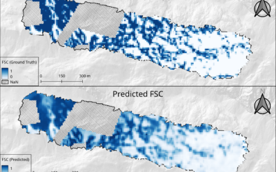
EAGLE Innolab Presentation: “From UAV to Satellite: Fractional Snow Cover Estimation at Sentinel-2 Resolution”
On March 03, 2026, Lutz Kleemann will present his Innolab results on "From UAV to Satellite: Fractional Snow Cover Estimation at Sentinel-2 Resolution" at 12:00 in seminar room 3, John-Skilton-Str. 4a. From the abstract: Fractional Snow Cover (FSC) estimation is an...