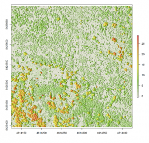
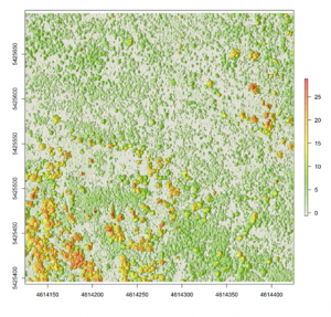
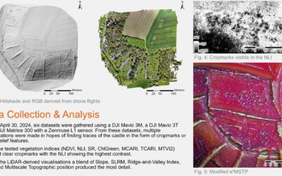
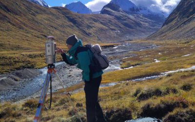
Nowadays there are plenty of 3D data sources which offer the possibility to model and monitor structural attributes of the landscape via the derivation of terrain, surface and canopy models. The core idea of this research project within an innovation laboratory is to leverage different sources of space- and airborne remote sensing data sources to derive digital surface models (DSMs) from forest stands. This can further provide the necessary database to compare their horizontal/vertical error as well as develop an error budget model by which the propagated error can be characterized. The remote sensing data sources which will be used here represent both landscape- and local scales, with airborne LiDAR and stereo SPOT data representing the landscape and unmanned aerial vehicle (UAV) data representing the local level. The methods include the state of the art as implemented in the available open-source software (FUSION, SAGA) as well as commercial photogrammetric suites (ERDAS Imagine).

