
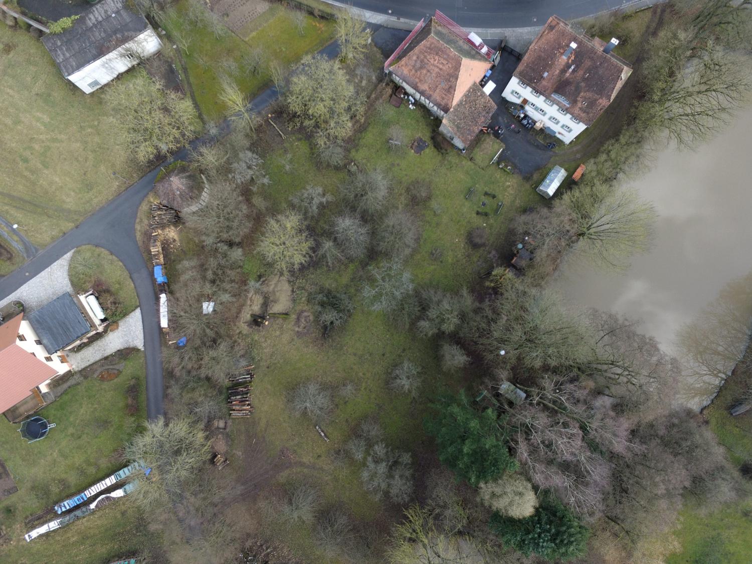
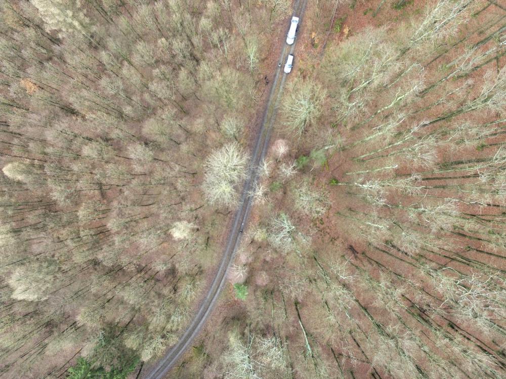
one of our field sites in the Steigerwald
For several upcoming EAGLE courses we visited potential field sites and tested our equipment. During this first field work of the year our UAV and D-GPS data collection were tested in the Steigerwald at the research station of the University Wuerzburg in Fabrik Schleichach. The research station is part of Prof. Jörg Müllers research department, his staff helped us with the field work and Dr. Simon Thorn, the deputy of the research station gave us a tour of the station and the ongoing research. The EAGLE students will have the opportunity to stay at this research station for the course work or later for an internship or M.Sc. thesis. This time we tested several methods to locate ground control points in the UAV imagery as well as the options to launch the UAV in different types of forest. Additionally, we took images of the research station itself and the plots to evaluate its suitability for later field work and courses. Interesting discussions and potential further collaborations with the biologists working on beetles, bird or fungi composition and distribution, as well as forest composition were also discussed. Tobias Ullmann, Hooman Latifi, Christian Büdel and Martin Wegmann conducted the field work and are now planning further field work in spring and summer as well as joint courses around the research station.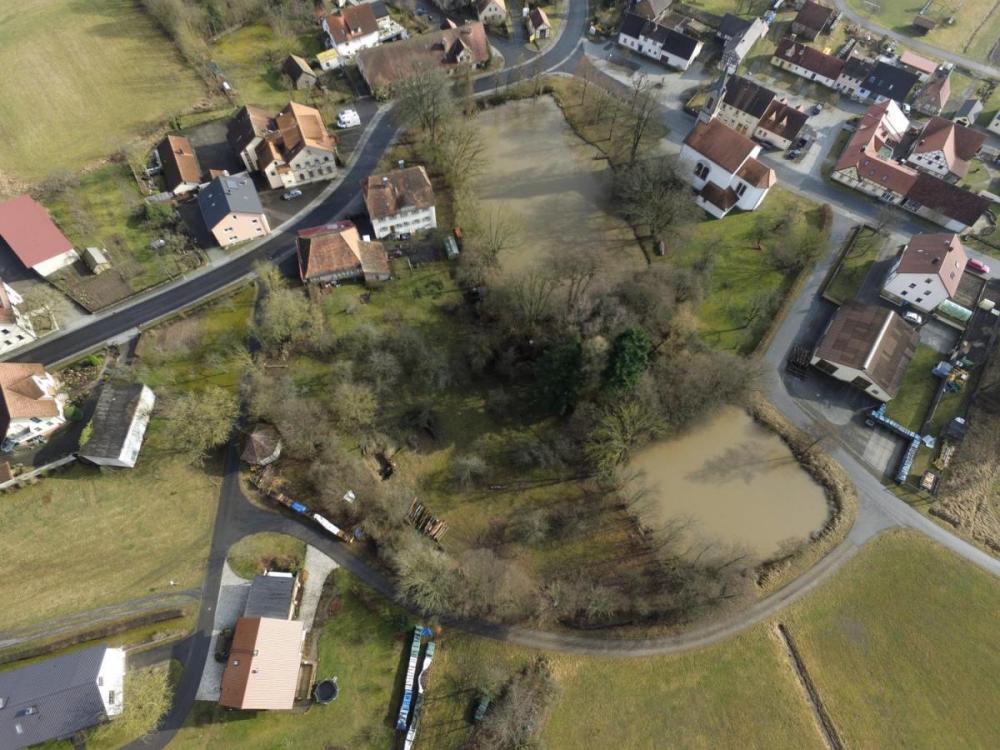
Research Station of the University of Wuerzburg in Steigerwald

![[Spotlight] Lecturer Spotlight: Julian Faeth](https://eagle-science.org/wp-content/uploads/2026/10/Julian_Faeth_EORC_EAGLE_2026-400x250.jpg)






