M.Sc. defense by Louis Freytag Loringhoven

On Tuesday, 24th at 2pm Louis Freytag-Loringhoven will present his M.Sc. thesis “Remote sensing of water quality using Sentinel-2 towards a potential separation of Cyanobacteria blooms from other Algae.”

from the abstract: Globally, the over-enrichment of nutrients associated with urban, agricultural and industrial development as well as global warming, favor the abundance and dominance of harmful cyanobacterial blooms (CHBs) (Clark et al., 2017).

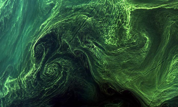
Mapping cyanobacterial blooms and Algae (diatoms, green algae) from space has become a widespread approach. Known as patchy and briefly occurring the high spatial extent and temporal variability compared to traditional ship/ buoy surveys are known as convenient. Since the spectral resolution of S2 is not designed to map and quantify Cyanobacteria, this study applied the Mean absolute percentage error (MAPE) as a texture index, based on spectral indices for chlorophyll-a (chl-a) to tests if the higher spatial resolution can be used to quantify the for Cyanobacteria typical spatial structures.

This study aims to investigate if textural features like strong gradients of neighboring pixels can be used to distinguish harmful blooms like Cyanobacteria from Algae.

read more news:

EAGLE summer dialogue

EAGLE summer dialogue

Our annual EAGLE summer dialogue was a great success again even though the weather was quite challenging. The EAGLEs organized a fantastic event with fun activities, great images reviving the last months and years and of course a BBQ, drinks and an outstanding...

new publication by our EAGLE student Clara Vydra

new publication by our EAGLE student Clara Vydra

Our EAGLE student Clara just published an article about snow cover variability in Central Asia - great to see our young EAGLE MSc students being on a good track for their scientific career. from the abstract: "Climate change is affecting the snow cover conditions on a...

UAS team – meme

UAS team – meme

The UAS (UAV or drone) team was quite busy the last months to collect data in Europe, Africa or Arctic and the group spend plenty of hours traveling and collecting Lidar, multispectral, thermal or hyperspectral data in various ecosystems. Of course in many cases faced...

scientific graphics course

scientific graphics course

Beside the various remote sensing courses such as radar, cloud computing, terrain analysis, urban analysis etc. we do also offer courses on softskills such as scientific writing, presentations as well scientific graphics and maps. Within our scientific graphics course...

EAGLE students introduce locust spatio-temporal modeling

EAGLE students introduce locust spatio-temporal modeling

Our EAGLE students Leonie, Sonja and Clara presented methods to model the spatial and temporal distribution of locust in France using statistical modelling approaches within R and the flexSDM package. The elaborated for two hours how the complex data preparation,...