MSc. presentation by Fowad Ahmed

Fowad Ahmed will present his M.Sc. thesis “Agricultural landscape Configuration and Pattern Analysis with VHR Imagery in Bavaria” on Friday 11th at 11am.
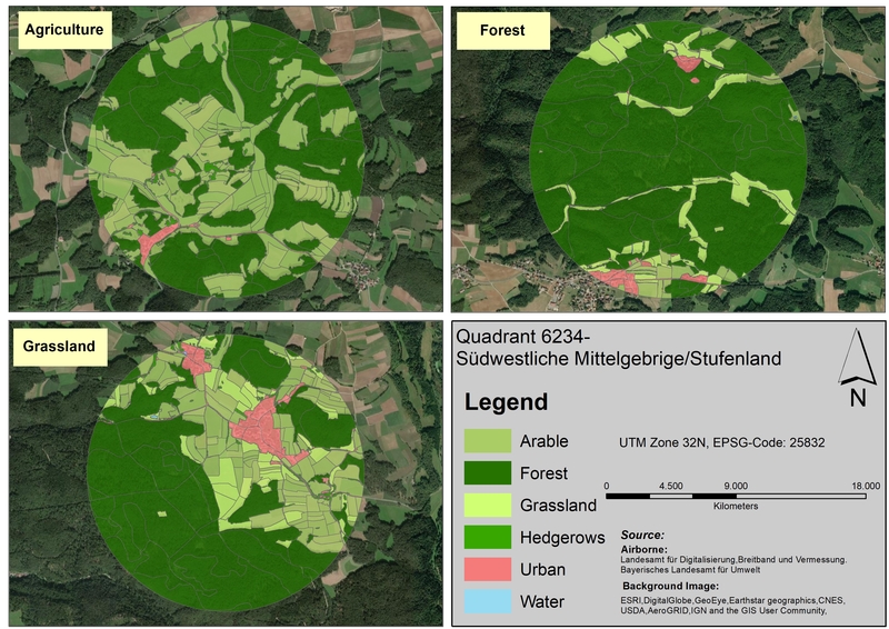
from the abstract: “Hedgerows and woody linear features are an integral part of the landscapes where they exist. These natural and semi-natural physical features deliver several ecosystems services and functions as ecological hotspots to its surrounding flora and fauna. These physical feature mostly found within agriculture landscape are prone to come under increasing pressure, with the human population set to exceed 9 billion by 2050. In this study, a four-band (RGB+Near Infrared) high spatial resolution (1 m) airborne imagery was utilized and following geographic object-based image analysis methodology, the detection of hedgerows on fifteen selected sites across the Bavarian landscape was carried out. The GEOBIA was implemented in ENVI feature extraction module, and SVM algorithm was used for classification purposes. The classification results showed that hedgerows with the combination of VHR imagery and GEOBIA can be identified with good accuracy(Overall accuracy: 0.97%, kappa:0.97). The results highlighted that inconsistency in airborne imagery influences the classification accuracies. A combined land use maps were generated after the inclusion of hedgerows maps within land-use maps from ATKIS DLM and Landklif land use map. Subsequently, the landscape pattern of study sites was analysed through landscape composition and configuration metrics.” supervised by Carina Kuebert-Flock

read more news:

EAGLE summer dialogue

EAGLE summer dialogue

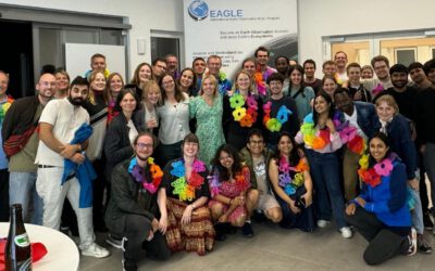
Our annual EAGLE summer dialogue was a great success again even though the weather was quite challenging. The EAGLEs organized a fantastic event with fun activities, great images reviving the last months and years and of course a BBQ, drinks and an outstanding...

new publication by our EAGLE student Clara Vydra

new publication by our EAGLE student Clara Vydra

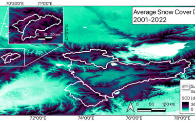
Our EAGLE student Clara just published an article about snow cover variability in Central Asia - great to see our young EAGLE MSc students being on a good track for their scientific career. from the abstract: "Climate change is affecting the snow cover conditions on a...

UAS team – meme

UAS team – meme

The UAS (UAV or drone) team was quite busy the last months to collect data in Europe, Africa or Arctic and the group spend plenty of hours traveling and collecting Lidar, multispectral, thermal or hyperspectral data in various ecosystems. Of course in many cases faced...

scientific graphics course

scientific graphics course

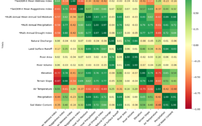
Beside the various remote sensing courses such as radar, cloud computing, terrain analysis, urban analysis etc. we do also offer courses on softskills such as scientific writing, presentations as well scientific graphics and maps. Within our scientific graphics course...

EAGLE students introduce locust spatio-temporal modeling

EAGLE students introduce locust spatio-temporal modeling

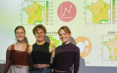
Our EAGLE students Leonie, Sonja and Clara presented methods to model the spatial and temporal distribution of locust in France using statistical modelling approaches within R and the flexSDM package. The elaborated for two hours how the complex data preparation,...