Lecturer
Jakob Schwalb-Willmann
ECTS
5 ECTS
Aim
In this lecture you will gain a broad overview of the applications of remote sensing. Examples from different disciplines and applied Earth Observation projects will provide your with a comprehensive understanding of if, where and how remote sensing can contribute to qualitative and quantitative assessments of the cryosphere, forest ecosystems, agro-ecosystems, the coastal zone and urban ecosystems; amongst others. We will evaluate the potential of passive and active sensor systems and adress the advantages and shortcomings of existing sensors in the optical / mutlsispectral, thermal and microwave domain.
Content
This lecture provides knowledge on applications of Earth Observation with a focus on remote sensing of the land surface. Which research questions of different disciplines can be answered by the means of Earth Observation? What are the main approaches? The module links up remote sensing measurements to geo- and biophysical parameters required for further geoanalysis. Commonly used methodological approaches for the derivation of the different parameters are presented. Examples include amongst others applications in geography, environmental planning, ecology, biology, oceanology, soil science, geology, atmospheric science, but also e.g. pollution control (monitoring) and natural resource management. In addition, the module outlines selected examples, how remote sensing technology can be transferred to the workplace of professionals also beyond science, e.g. via the use of geoinformation systems.
General Course News and Updates
EAGLE students learn remote sensing field work
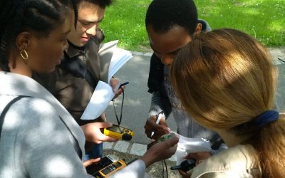
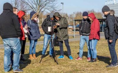
The course "from field work to spatial data" by Tobias Ullmann and Martin Wegmann is covering the whole range of field campaign planning and especially training all necessary methods such as GPS handling, coordinate systems, setting waypoints or finding locations. In...
MSc thesis started by Jakob Schwalb-Willmann
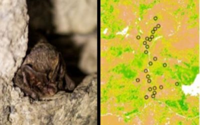
Jakob Schwalb-Willmann just started his M.Sc. thesis titled "A deep learning movement prediction model using environmental data to identify movement anomalies". He will combine animal movement and remote sensing data in order to develop a generic, data-driven DL-based...
EAGLE students coding with sweets
Today our EAGLE students applied data munging, pipes, plotting and statistics using colour distribution of sweets. They specifically used the dplyr, ggplot, kableExtra and others to compute derivatives, rearrange the data, plot it and run statistics on colour...
Final presentations of the remote sensing programming course
The final project presentations of the spatial coding course by the EAGLE students revealed quite some impressive analysis achieved within the last couple of months. All analysis were done using R and presentations created within R using knitr. The aim was to run a...
internship and innovation laboratory presentations
The following internship and innovation laboratory projects were presented today: Karsten Wiertz did his internship at the Białowieza national park on "Spatio-temporal analysis of tree mortality and gaps in the Białowieza Forest using high resolution imagery". Jakob...
Spatial Python block course
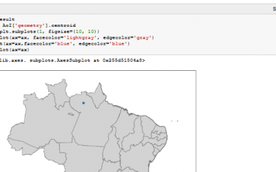
Last week Steven Hill and Thorsten Dahms gave a course that introduced EAGLE students to Python-based spatial data analysis. The advantages and challenges of different python libraries, data sets and methods were covered in hands-on exercises and also discussed...
Interdisciplinary course in the Bavarian Forest
The Bavarian Forest and the Bohemian Forest together form the largest contiguous forest area in central Europe, which is of an extraordinary importance for the protection and maintenance of biological diversity. Since 1970, a large area of the forest is protected as a...
One week courses on hyperspectral and time-series analysis
In the past few weeks various block courses by colleagues from DLR have taken place. Divers topics how remote sensing can be used, which methods have to be applied and how to put it into practice were covered by our colleagues Hannes Taubenböck, Martin Bachmann and...
Urban Geography Course by Hannes Taubenböck
Hannes Taubenböck from DLR discussed with our EAGLE students the application of remote sensing applications within urban research.
Scientific Presentation of Earth Observation Applications
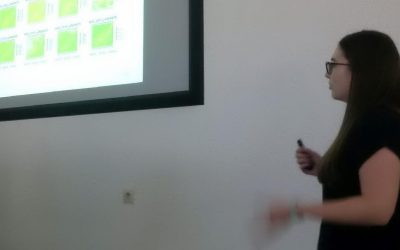
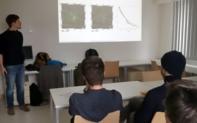
As every term our students could participated in a scientific presentation course where they learned how to prepare, design and defend a scientific talk. Beside the theoretical part many practical exercises were part of this course and a final presentation in a large...

