Aim
The main idea of the course is not only to make some fancy analysis, but also for students to organize themselves and evaluate which analysis makes sense within the limited time frame, as there will be no further tasks or time after the “hackathon” week. On the other hand, students will experience what is possible within one week of concentrated working effort, especially when organizing themselves well.
Content
The course is structured like a hackathon. On the first day some general introduction into the topic (Protected Areas in Africa) is given and relevant research questions are discussed. Students can organize themselves in teams if desired and each student/team works on an individual topic from here on out. Every day a quick feedback round will be held where each team presents their current status and goal for the day/week, which will be shortly discussed in the group. On the last day the results of each topic will be presented.
Coding
Coding examples and individual work will be covered
Software
Various software programs will be used, but mainly OpenSource software such as R.
Techniques
Different techniques will be introduced and practically applied.
Content
The content of scientific with regard to the audience will be discussed.
General Course News and Updates
UAV application for remote sensing course started
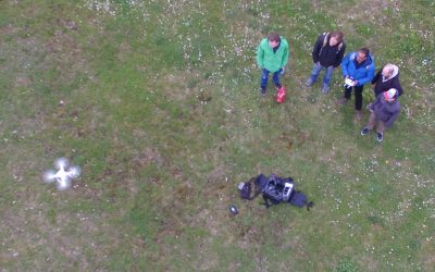
The course on UAV application for Remote Sensing started successfully. The weather was good enough to do some first flights. In the next weeks and months more flights will be undertaken and data collected for different fields sites in order to gain more information...
course on object oriented remote sensing analysis
The new term started with the course “Object-oriented image analysis”. It is a hands-on seminar covering eCognition by Dr. Michael Thiel and Dr. Christian Geiss. Christian is an invited guest lecturer from DLR’s Remote Sensing Data Center (Department: Geo-Risks and...
testing UAV and D-GPS application in the Steigerwald
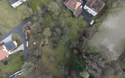
one of our field sites in the Steigerwald For several upcoming EAGLE courses we visited potential field sites and tested our equipment. During this first field work of the year our UAV and D-GPS data collection were tested in the Steigerwald at the research station of...
EAGLE students visit DLR-EOC
Our EAGLE 2016 students visited the DLR-EOC last Friday and got a very good overview of the work done by the scientists at DLR. Many different topics were covered and nearly all applications of applied earth observation research done at DLR-EOC were presented. ...
EAGLE 2016 welcome
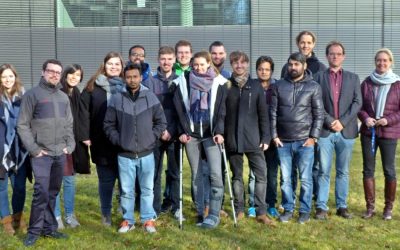
On Monday 17th of October we welcomed our new EAGLE students. The EAGLEs in 2016 are from Afghanistan, Bangladesh, Columbia, Egypt, India, Iran, Pakistan, Sweden and Germany. After the official welcome by all lecturer and the study program coordinator Christopher Conrad and the head of the remote sensing department and director of the DLR-DFD, Stefan Dech,
field course on remote sensing in the Bavarian Forest NP
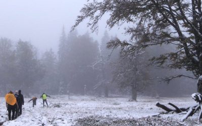
The course on remote sensing for biodiversity analysis covered 10 days of field work, R coding, testing field methods such as UAVs and lots of hiking in the National Park Bavarian Forest. This year we had sunny and rainy weather and on the peaks also snow which made...
Explore species-environment interaction
Analyzing species-environment interaction is feasible using various data and method. An increasing technology is the tracking of animals and especially its linkage to remote sensing, as covered in AniMove.org. However, with this technology new challenges have to be...
Deployment of a multi-classifier approach to improve land cover classification accuracy
This study will examine whether the application of hybrid classifiers increases the classification accuracy in comparison to a single classifier. A combination between parametric and non-parametric classifiers will be applied and their performance will be assessed....
Stereo photogrammetry for multi-temporal surface models based on aerial imagery
The data provided by aerial imagery are amongst the oldest sources of spatially explicit information for modern-time environmental management. These data are often captured over landscape-level domains using overlapping flight stripes to enable stereo photogrammetric...
Estimation of actual evapotranspiration in irrigation agricultural area of Uzbekistan using high resolution multi-frequent synthetic remote sensing data
Actual evapotranspiration (ETact) is an essential component of the water balance and its determination for large areas is difficult on regional scale and can be explored within an innovation laboratory. The use of remote sensing data to determine ETact is particularly...

