Actual evapotranspiration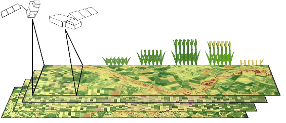 (ETact) is an essential component of the water balance and its determination for large areas is difficult on regional scale and can be explored within an innovation laboratory. The use of remote sensing data to determine ETact is particularly suitable to provide area based indicators for the evaluation of the efficiency and productivity of irrigation systems. Seasonal analysis of ETact is hampered by either spatial (MODIS) or temporal (Landsat) resolution. In order to provide a high-resolution (temporal and spatial) and dense remote sensing dataset Landsat and MODIS data will be fussed using the ESTARFM algorithm.

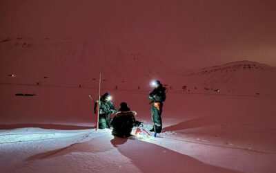
Behind the Lens: EAGLE Students Marlene & Anna Took Over Uni Würzburg’s Instagram!
What happens when two passionate Earth Observation students take the reins of the University of Würzburg’s Instagram account? A few days full of inspiration, insights, and a whole lot of drone footage! 🌍🚁 EAGLE MSc students Marlene and Anna recently...