EAGLE students visit DLR-EOC

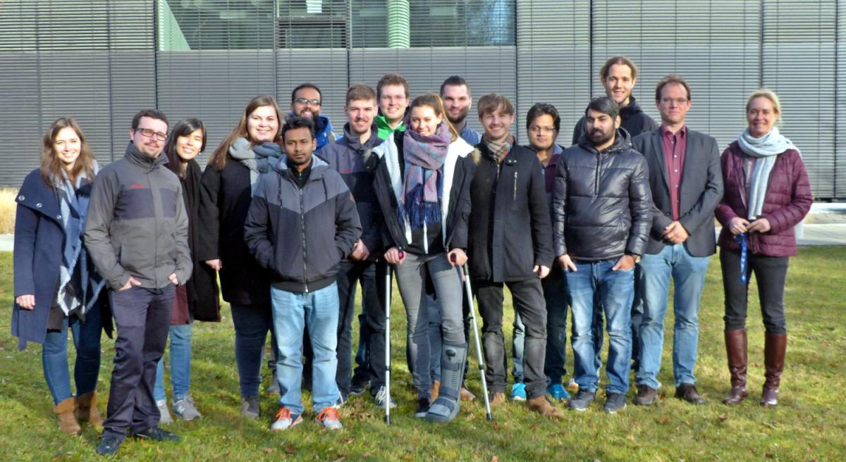
Our EAGLE 2016 students visited the DLR-EOC last Friday and got a very good overview of the work done by the scientists at DLR. Many different topics were covered and nearly all applications of applied earth observation research done at DLR-EOC were presented.


  • Welcome and DLR overview
    Doris Klein
  • Forest Cover Loss in Paraguay and Ecosystem Service Approaches
    Emmanuel Da Ponte
  • Mapping natural resources using imaging spectroscopy
    Stefanie Holzwarth
  • German Space Operations Center (GSOC)
  • Remote sensing for the support of humanitarian aid
    Konstanze Lechner
  • Center for Satellite Based Crisis Information (ZKI)
    Alexander Mager
  • Earth observation with SAR
    Birgit Wessel
  • The century of the cities – Monitoring the transformation of the global urban environment using EO-data
    Hannes Taubenböck
  • Movement and behavior modes of white storks in relation to settlement patterns and structures
    Ines Standfuss
  • Air pollution in megacities
    Thilo Erbertseder

read more news:

EAGLE summer dialogue

EAGLE summer dialogue

Our annual EAGLE summer dialogue was a great success again even though the weather was quite challenging. The EAGLEs organized a fantastic event with fun activities, great images reviving the last months and years and of course a BBQ, drinks and an outstanding...

new publication by our EAGLE student Clara Vydra

new publication by our EAGLE student Clara Vydra

Our EAGLE student Clara just published an article about snow cover variability in Central Asia - great to see our young EAGLE MSc students being on a good track for their scientific career. from the abstract: "Climate change is affecting the snow cover conditions on a...

UAS team – meme

UAS team – meme

The UAS (UAV or drone) team was quite busy the last months to collect data in Europe, Africa or Arctic and the group spend plenty of hours traveling and collecting Lidar, multispectral, thermal or hyperspectral data in various ecosystems. Of course in many cases faced...

scientific graphics course

scientific graphics course

Beside the various remote sensing courses such as radar, cloud computing, terrain analysis, urban analysis etc. we do also offer courses on softskills such as scientific writing, presentations as well scientific graphics and maps. Within our scientific graphics course...

EAGLE students introduce locust spatio-temporal modeling

EAGLE students introduce locust spatio-temporal modeling

Our EAGLE students Leonie, Sonja and Clara presented methods to model the spatial and temporal distribution of locust in France using statistical modelling approaches within R and the flexSDM package. The elaborated for two hours how the complex data preparation,...