Lecturer
any EAGLE lecturer as supervisor
ECTS
5 ECTS
Aim
The innovation laboratory provides the opportunity to conduct a specified research project on a chosen research topic and explore the potential, challenges and limits of Earth Observation and geoanalysis in a practical approach during the 3rd term.
The Innovation Laboratory allows you to analyze one particular topic in your field of interest in depth. It allows to address own research in the field of the study program and offers the basis of practical attained knowledge. It is similar to an internship but allows to do it at the university (esp. our department).
Content
The content of the innovation laboratory can be decided by each student individually and either a research topic is offered by a lecturer or the student is proposing an own topic. Research topics need to be discussed with and proposed to one EAGLE lecturer who will also be in charge of supervising and grading the students work. Topics of the innovation laboratory can cover all aspects of the EAGLE study program with a strong focus on applied Earth Observation and geoanalysis or its innovative potential for remote sensing sciences. It may comprise topics such as linking spectrometer field studies to remotely sensed data or the exploration of UAV based imagery, as well as space borne earth observation analysis such as time-series derivation for a variety of environmental studies i.e. resource mapping or spatial predictions and statistics of variables.
Estimation of actual evapotranspiration in irrigation agricultural area of Uzbekistan using high resolution multi-frequent synthetic remote sensing data
Actual evapotranspiration (ETact) is an essential component of the water balance and its determination for large areas is difficult on regional scale and can be explored within an innovation laboratory. The use of remote sensing data to determine ETact is particularly...
Object based sequential masking classification using SAR and optical data
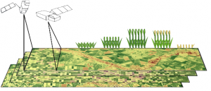
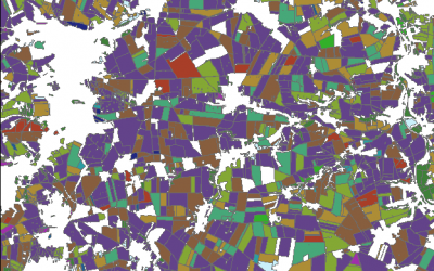
Remote sensing based crop mapping is still challenging when just relying on optical information as the only data source. Due to the unavailability of adequate optical satellite images the integration of SAR is promising and can be explored within an innovation...
Radiometric calibration, speckle reduction, geometric and terrain correction are essential preprocessing steps for SAR data. Within an innovation laboratory you will explore the different calibration and data preparation techniques for ground detected and single look...
Surface model creation from multi-source remote sensing data
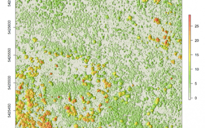
Nowadays there are plenty of 3D data sources which offer the possibility to model and monitor structural attributes of the landscape via the derivation of terrain, surface and canopy models. The core idea of this research project within an innovation laboratory is to...


