Aim
Aim of this course is to provide you with an overview on geographic processes of urbanization, the related demographic and structural changes of cities, and data analyses methods using remote sensing data for applications in urban geography.
Content
Humankind is within its largest migration ever: from rural areas into cities. The drivers of this global process of urbanization from demographic to economic and the related structural changes cities are facing will be discussed in this course. Remote sensing is one crucial data source in this dynamic transformation and its products are highly relevant for urban planning, as well as environmental management. Within this course different approaches and techniques are covered focusing on deriving relevant information about urbanized areas on different levels of detail. Uni-temporal-, multi-temporal-, and time series based image classification, segmentation, the analyses of point patterns, GIS analyses to assess spatial context and dependencies, as well as analyses in the 3D domain will be addressed in this course. This will be done providing and discussing example applications from different regions globally (e.g. urban sprawl analysis of megacities, the development of new dimensions of urban landscapes such as mega-regions, the rearrangement of business districts within the urban landscape, etc.). You will learn what capabilities Earth observation data, methods and products have for urban research and applications and how to design remote sensing based urban analysis, how to avoid caveats, troubleshoot errors and interpret the results.
General Course News and Updates

EAGLE summer dialogue 2022
After two years we finally had our EAGLE summer dialogue again with many Earth Observation alumni, now working in various research organizations and companies. Great to talk to all our past and present students and also seeing all the students getting to know each...
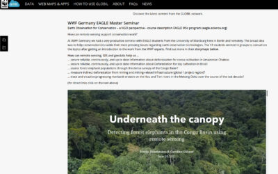
WWF course on applied Earth Observation
Our EAGLE students joint a course offered by the earth observation unit at WWF and learned how to apply remote sensing within a conservation NGO. They learned a lot and their results are published as story maps on their webpage...
Inno lab and internship presentations
On Friday, 8th of July, at 9:30 we will have the following presentations: Jana Maier (InnoLab at DLR): Multitemporal SAR Analysis for Sentinel-1 metrics based Land Cover Classification in West Africa - InnoLab in Agroecosystems and Phenology at DLR. Nora Nieskens...
MSc defense by Antonio Castaneda
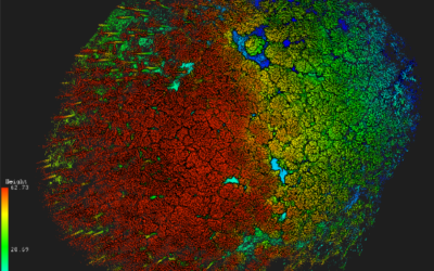
On Friday, 1st of July at 9am Antonio will present his M.Sc. thesis "Potential and limits of using UAS in forest monitoring". From the abstract: "The exponential development, usage, and application of uncrewed area systems (UAS) have given remote scientists a clear...
internship, inno lab and MSc idea presentation
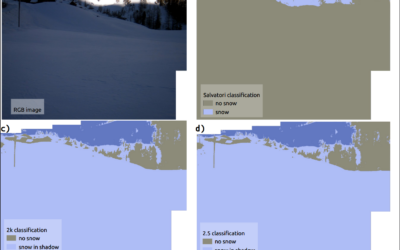
On Monday, 30th of May, from 10am onwards, we will have the following presentations: Ása Dögg (Inno-lab): "Potential of Sentinel-1 data for research and monitoring in Tröllaskagi peninsula, Iceland - Snow cover mapping using S-1 time series."Supervisors: Tobias...
Internship and Inno Lab presentations
On Friday 20th of May at 9am we will have the following internship and inno lab presentations: Andrea Cardenas (Internship at DLR): “Data analysis of the refugee crisis in West Africa and definition of test sites in NRW – Germany”supervisor: Martin Muehlbauer Ása Dögg...

EAGLE application in 2022
We received again more than 200 applicants from all over the world. In total applicants from 42 different countries applied to our international Earth Observation M.Sc. program, covering countries such as Hungary, Morocco, Malaysia, Kenya, Nepal or Columbia. We are...
EAGLE application deadline 2022
Our application deadline for 2022 is approaching. If you want to study applied Earth Observation and learn about a variety of remote sensing sensors and methods as well as about fields of applications, submit your application at the latest on May 15th. Accepted...
MSc defense by Haiyin Ye
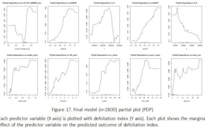
On Friday 20th of May at 9am Haiyin will present her M.Sc. thesis "Monitoring Gypsy Moth Outbreak Using Sentinel-1 and Sentinel-2 Data". From the abstract: "Gypsy moth Lymantria dispar (L.) is a serious pest in deciduous forests, the larvae of which can feed on a...
inno lab and MSc defense Jakob Wachter
this Friday, 22nd of April, at 9am we will have one inno lab and one M.Sc. defense, both by Jakob Wachter. inno lab: "Assessment of climate-induced drought impact on crop types in bavaria" (Tobias Ullmann) M.Sc. defense: "Potential of webcam Imagery as reference data...