
Scientific Publishing & Writing in Earth Observation
Scientific Publishing and Writing in Earth Observation04-GEO-TB2 Lecturer Tobias Ullmann ECTS 5 ECTS Aim In this class you will get familiar with the tools and tricks for good scientific writing. You will learn how to structure your text, depending on your...
Innovation Laboratory
Innovation Laboratory04-GEO-INT2 Lecturer any EAGLE lecturer as supervisor ECTS 5 ECTS Aim The innovation laboratory provides the opportunity to conduct a specified research project on a chosen research topic and explore the potential, challenges and limits of...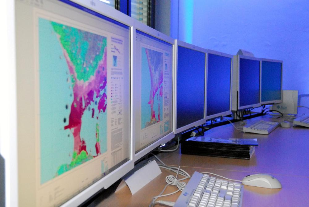
Excursion to DLR-EOC
Excursion the Earth Observation Center (DLR-EOC) Lecturer Doris KleinTanja KrausClaudia Künzer and others Aim The excursion to the Earth Observation Center of the German Aerospace Center in Munich aims to outline the diversity of current remote sensing...