by EAGLE Team | Oct 8, 2018
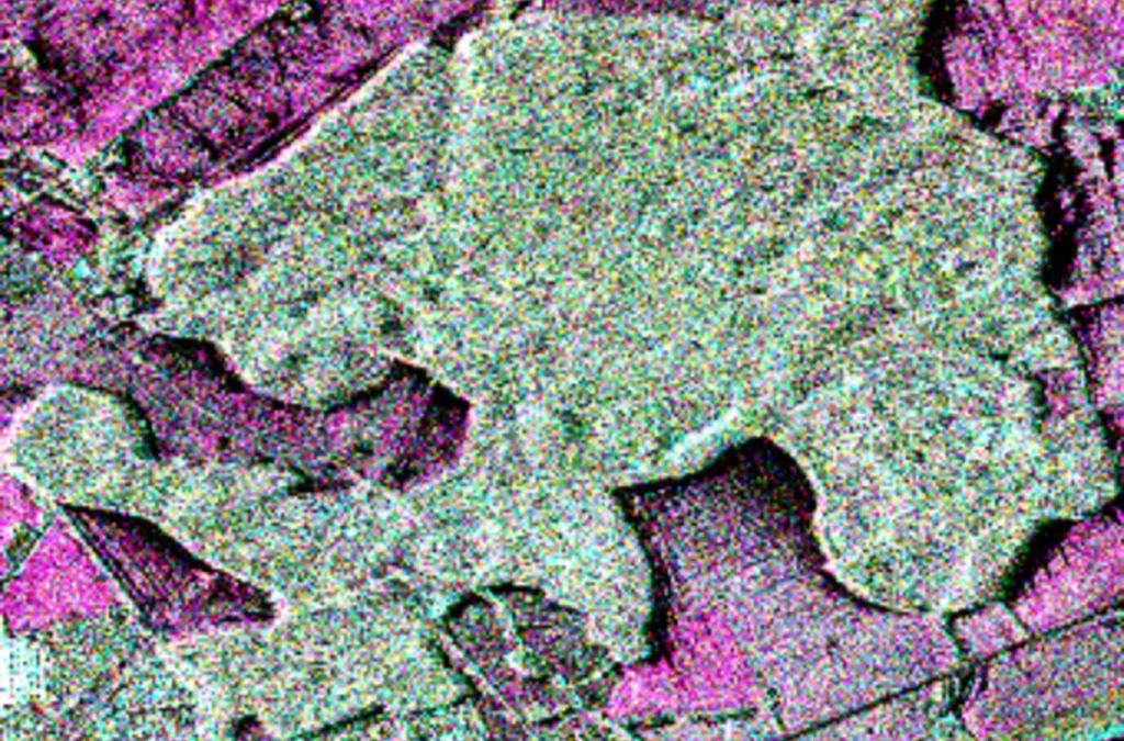
Soil and Vegetation RADAR analysis Lecturer Nima Ahmadian ECTS 5 ECTS Aim The participants will get familiar with the methological skills and processing chain for the analysis of polarimetric synthetic aperture radar (PolSAR) and Polarimetric SAR Interferometry...

by EAGLE Team | Mar 9, 2016
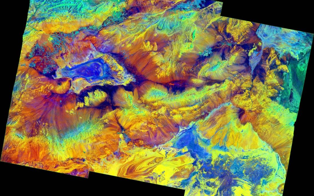
Radar Remote Sensing - Introduction to SAR Data Processing and Image Interpretation Lecturer Tobias Ullmann ECTS 5 ECTS Aim The course will introduce the principles of Synthetic Aperture Radar (SAR) remote sensing. The basics and methods how to analyze SAR data...

by EAGLE Team | Mar 8, 2016
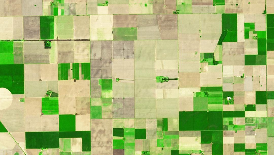
Object-oriented image analysis Lecturer Michael Thiel Christian Geiss Hannes Taubenboeck ECTS 5 ECTS Aim Within this course object-oriented image analysis is introduced using different very high to high remote sensing data. Different approaches and techniques...

by EAGLE Team | Feb 17, 2016
LiDAR remote sensing Lecturer Hooman Latifi ECTS 5 ECTS Aim In this module you will gain a detailed understanding of the advantages and challenges of Earth observation using Light Detection and Ranging (LiDAR) systems. Compared to other types of remote sensing...

by EAGLE Team | Jan 1, 2016
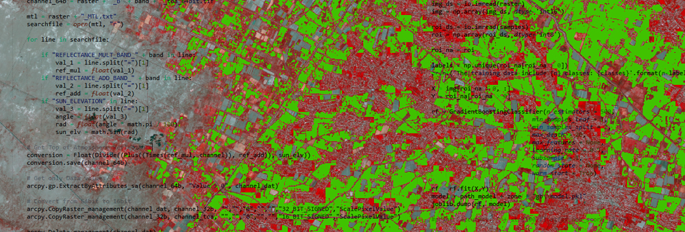
Spatial Python for Remote Sensing Lecturer Stephen Hill ECTS 5 ECTS Aim In this course we will elaborate large and complex workflows dealing with the analysis and handling of big data using Python. Moreover, we will try to develop a fully automated processing...


