by EAGLE Team | Mar 26, 2021
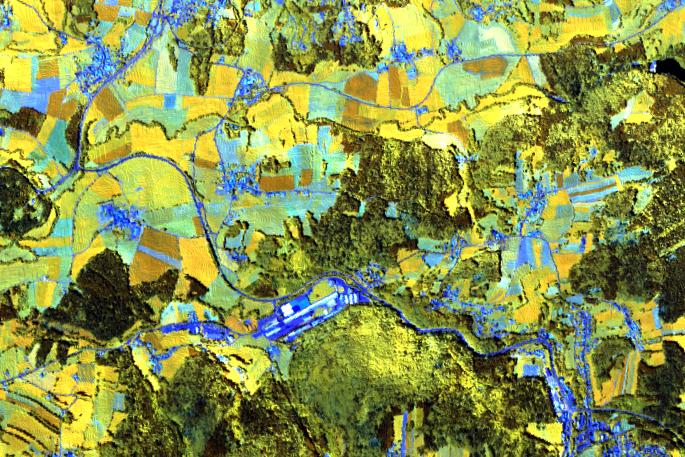
Hyperspectral Remote Sensing04-GEO-OMA5 Lecturer Martin Bachmann ECTS 5 ECTS Aim Spectroscopy and hyperspectral remote sensing enables to retrieve very detailed spectral information about a certain surface in dense bandwith intervalls. Information on the...

by EAGLE Team | Mar 23, 2021
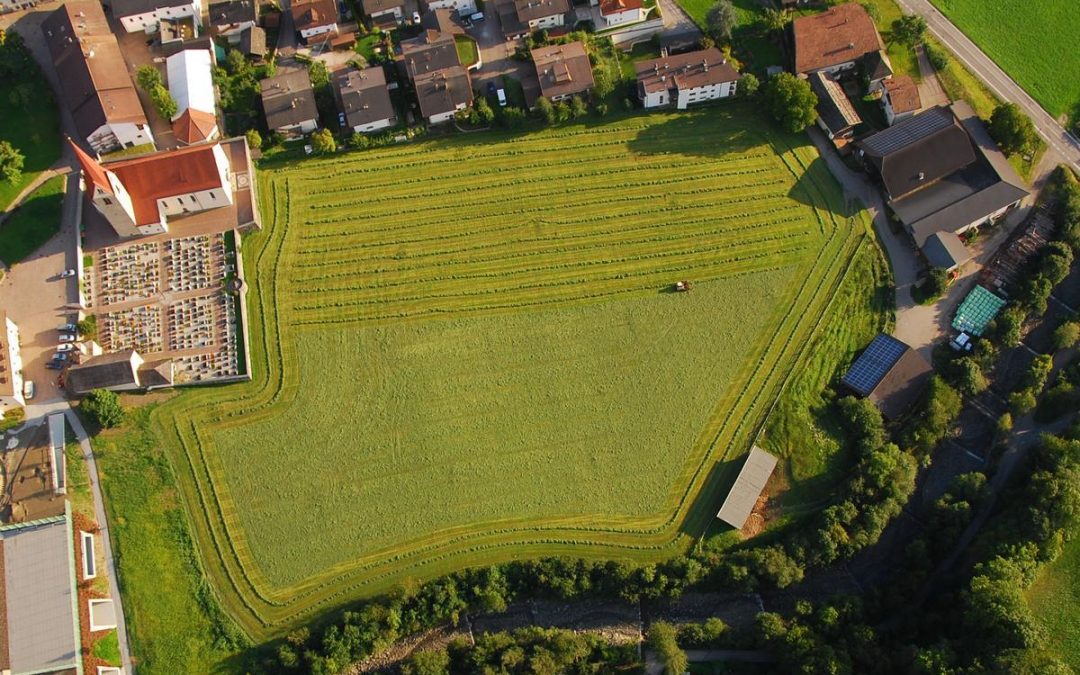
Theory and practice of UAS operations and methods04-GEO-OMA14 Lecturer Luisa Pflumm Antonio Casteñada-Gómez ECTS 5 ECTS Aim The potential and challenges of Unmanned Aerial Vehicles for monitoring our environment is covered using theoretical as well as practical...

by EAGLE Team | Dec 11, 2020
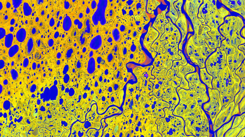
Cold Region Earth Observation Lecturer Marius Philipp ECTS 5 ECTS Aim The main idea of the course is not only to make some fancy analysis, but also for students to organize themselves and evaluate which analysis makes sense within the limited time frame, as...


