About
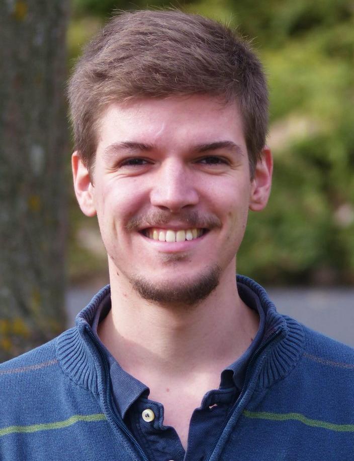
Jakob is a scientist at the University of Würzburg with an academic background in Earth observation and spatial data science. His research focuses on the machine-learning-driven analysis and exploitation of integrated movement tracking and remote sensing data for geoanalytical applications. In particular, he is investigating techniques to recognize patterns in the interaction of animal movements and environmental conditions, e.g. to identify phenological events, detect environmental changes and disruptions or retrieve and label ground-truth data. He has extensive experience in using and developing Open Source software tools for the advanced analysis of imagery and spatial data, in particular for pattern learning and pattern recognition, and has a passion for visualizing data.
Courses
- Advanced Programming (MET2): Practical training to strengthen technical skills. From web APIs and data visualization over machine learning for computer vision to automating development environments.
Recent News
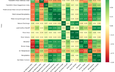
Internship Presentation: Discovering Hydrographic Parameters of HydroSHEDS and TanDEM-X Digital Elevation Model through Exploratory Data Analysis on July 09, 2024
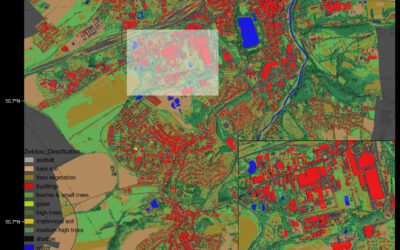
On Tuesday, July 09, Subarno Shankar will present his internship " Discovering Hydrographic Parameters of HydroSHEDS and TanDEM-X Digital Elevation Model through Exploratory Data Analysis " at 12:00 in seminar room 3, John-Skilton-Str. 4a. From the abstract: Climate...
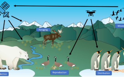
Master Thesis Presentation: Earth Observation for Wildlife Monitoring in cold and polar Regions – A Review and a Case Study about the Northern Bald Ibis on June 11, 2024
On Tuesday, June 11 , Helena Wehner will defend her master thesis " Earth Observation for Wildlife Monitoring in cold and polar Regions – A Review and a Case Study about the Northern Bald Ibis" at 13:00 in seminar room 3, John-Skilton-Str. 4a. From the abstract:...
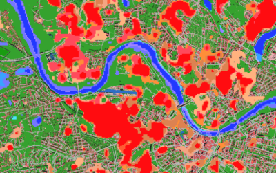
Master Thesis Presentation: Analysis of Urban Heat Development in Dresden, Germany using Landsat Data from the Past Decade
On Tuesday, May 28, Ina Schulz will defend her master thesis " Analysis of urban heat development in Dresden, Germany using Landsat data from the past decade" at 12:00 in seminar room 3, John-Skilton-Str. 4a. From the abstract: As the number of urban residents is...
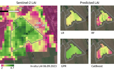
Master Thesis Presentation: Modelling LAI of Alpine Grassland on June 11, 2024
On Tuesday, June 11 , Caroline Göhner will defend her master thesis " Modelling LAI of Alpine Grassland" at 12:00 in seminar room 3, John-Skilton-Str. 4a. From the abstract: Alpine grasslands are crucial ecosystem providers and one of the most threatened terrestrial...
Internship Report on Tuesday, May 21st at 12:00
NEW DATE: On Tuesday, May 21st, Elly Schmid will present her internship at 12:00 in seminar room 3, John-Skilton-Str. 4a. : From the abstract: The internship was carried out as part of the HEATS-(Urban heat) Project of the Georisks team at the Earth Observation...
Internship Presentation: Application of Geospatial Science in Reinsurance
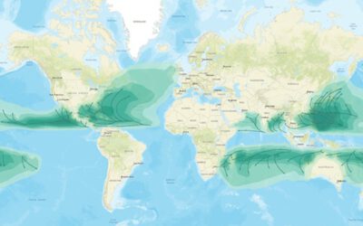
On Tuesday, May 07, at 12:00 Ronja Seitz will present her internship presentation on "Application of Geospatial Science in Reinsurance " in seminar room 3, John-Skilton-Str. 4a. From the abstract: I used the opportunity of my mandatory internship to enter an entirely...
Internship Report on Tuesday, April 30 at 14:00
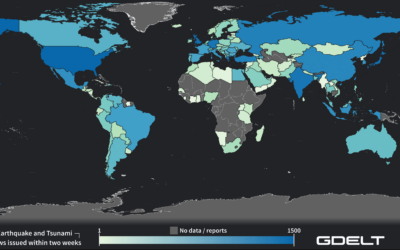
On Tuesday, April 30 Konstantin Müller will present his internship " GDELT News Analysis of the Noto Earthquake via ERNIE" at 14:00 in 01.B.03, John-Skilton-Str. 4a. : From the abstract: The analysis of socioeconomic data has gained increasing importance. The exchange...
Master Thesis Defense: Unmasking the Shadow Economy in Ghana: Mapping The Distribution of Umbrella Covered Informal Vendors In Kumasi
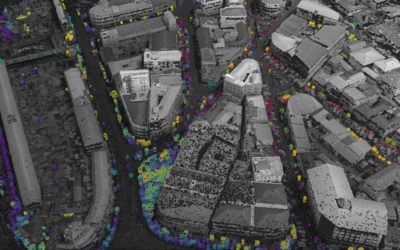
On Tuesday, April 30, at 13:00 Prince Lartey Lawson will present his master thesis on " Unmasking the Shadow Economy in Ghana: Mapping The Distribution of Umbrella Covered Informal Vendors In Kumasi " in 01.B.03 Meeting Room 1st Floor, John-Skilton-Str. 4a. From the...
Master Thesis Defense: “Flood susceptibility mapping using remote sensing and geospatial data in West Africa “
On Tuesday, April 30, at 12:00 Wilmer Fabián Montién Tique will present his master thesis on " Flood susceptibility mapping using remote sensing and geospatial data in West Africa " in 01.B.03 Meeting Room 1st Floor, John-Skilton-Str. 4a. Abstract: Floods in West...
Master Thesis Defense: “Modelling the Spatio-Temporal Suitability of Urban Environments for Aedes Aegypti Mosquitoes based on their Bio-Ecological Characteristics in Rio de Janeiro “
On Friday, March 22, at 12:00 Rutendo Mukaratirwa will present her master thesis on " Modelling the Spatio-Temporal Suitability of Urban Environments for Aedes Aegypti Mosquitoes based on their Bio-Ecological Characteristics in Rio de Janeiro " in seminar room 3,...

