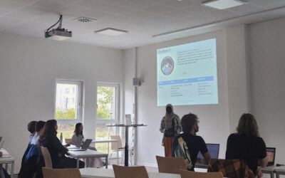
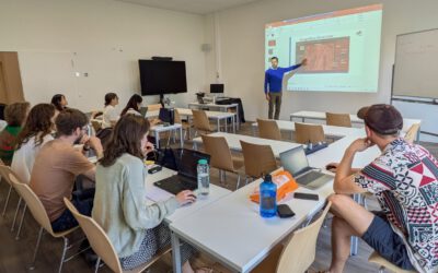
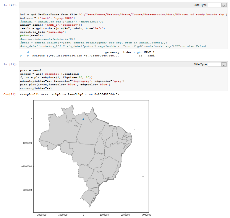
 Last week Steven Hill and Thorsten Dahms gave a course that introduced EAGLE students to Python-based spatial data analysis. The advantages and challenges of different python libraries, data sets and methods were covered in hands-on exercises and also discussed critically with the students. Steven and Thorsten greatly appreciated the discussions with EAGLE students about the similarities and differences between Python and R. In addition to the informative lectures and presentations of the students, the practical application of remote sensing data in Python was also part of this course. The course covered everything from the basic introduction to Python to remote sensing applications such as classification.

M.Sc. Student Clara Vydra Begins Thesis Field Work on Alpine Water Resources
We’re pleased to share that our M.Sc. student Clara Vydra has recently begun her thesis field work in the Austrian Alps in collaboration with the German Alpine Association (DAV) and the German Aerospace Center (DLR). Her research focuses on the impacts of climate...