
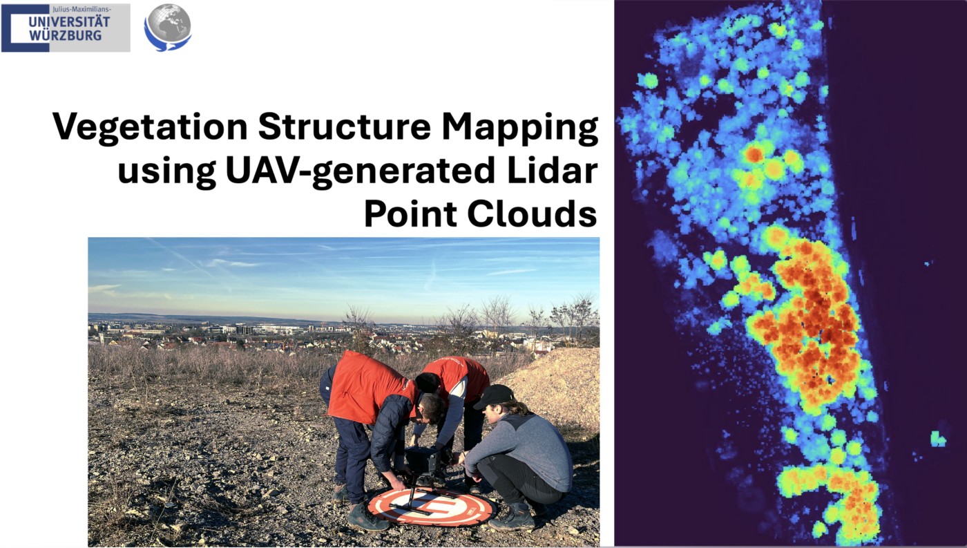
Last week our staff members Antonio Gomez Castaneda and Luisa Pflumm did an UAS course within out EAGLE M.Sc. program.
The primary objective of this course is to prepare students — from having no prior experience — to safely operate drones for scientific applications. Throughout the program, participants gain essential knowledge required to plan meaningful data collection missions, including:
- Understanding different types of UAS platforms and their applications
- Exploring various sensor technologies (multispectral, thermal, LiDAR)
- Learning structure from motion (SfM) techniques
- Mastering mission planning tools and workflows
- Navigating airspace regulations and ensuring safe drone operations
Upon completing the intensive Theory and Practice of UAS Operation and Methods course, all students had the unique opportunity to fly state-of-the-art aircraft and apply their remote sensing knowledge to process and analyze newly collected data.
As a highlight of the winter course, students showcased their final projects, which focused on cutting-edge remote sensing applications, such as:
- Assessment of Vegetation Health using Multispectral and Thermal Imagery from UAS
- Vegetation Structure Mapping using UAV-generated LiDAR Point Clouds
- Vegetation Structure Analysis with UAS-Based LiDAR
We were also thrilled to host three guest speakers:
- Elio Rauth shared his experience flying UAS in extreme cold regions, including Zugspitze and Svalbard.
- Marlene Bauer and Anna Bischof presented their internship work, detailing their UAS flights in the Kruger National Park and their ongoing Innovation Lab projects using drones for mangrove monitoring.
And a fun fact: despite mastering complex drone operations and high-tech sensors, it seems the most challenging task was folding the landing mat!
We are proud of the students’ dedication and enthusiasm, and we look forward to seeing their future contributions to the field of remote sensing and UAS technology!




![[Spotlight] Lecturer Spotlight: Julian Faeth](https://eagle-science.org/wp-content/uploads/2026/10/Julian_Faeth_EORC_EAGLE_2026-400x250.jpg)



