EAGLE Innolab: Development of a QGIS Plugin for the Planning of Ground-Mounted Photovoltaic Systems

On June 16, 2025, Georg Starz will present his Innolab results on ” Development of a QGIS Plugin for the Planning of Ground-mounted Photovoltaic Systems ” at 10:00 in seminar room 3, John-Skilton-Str. 4a.
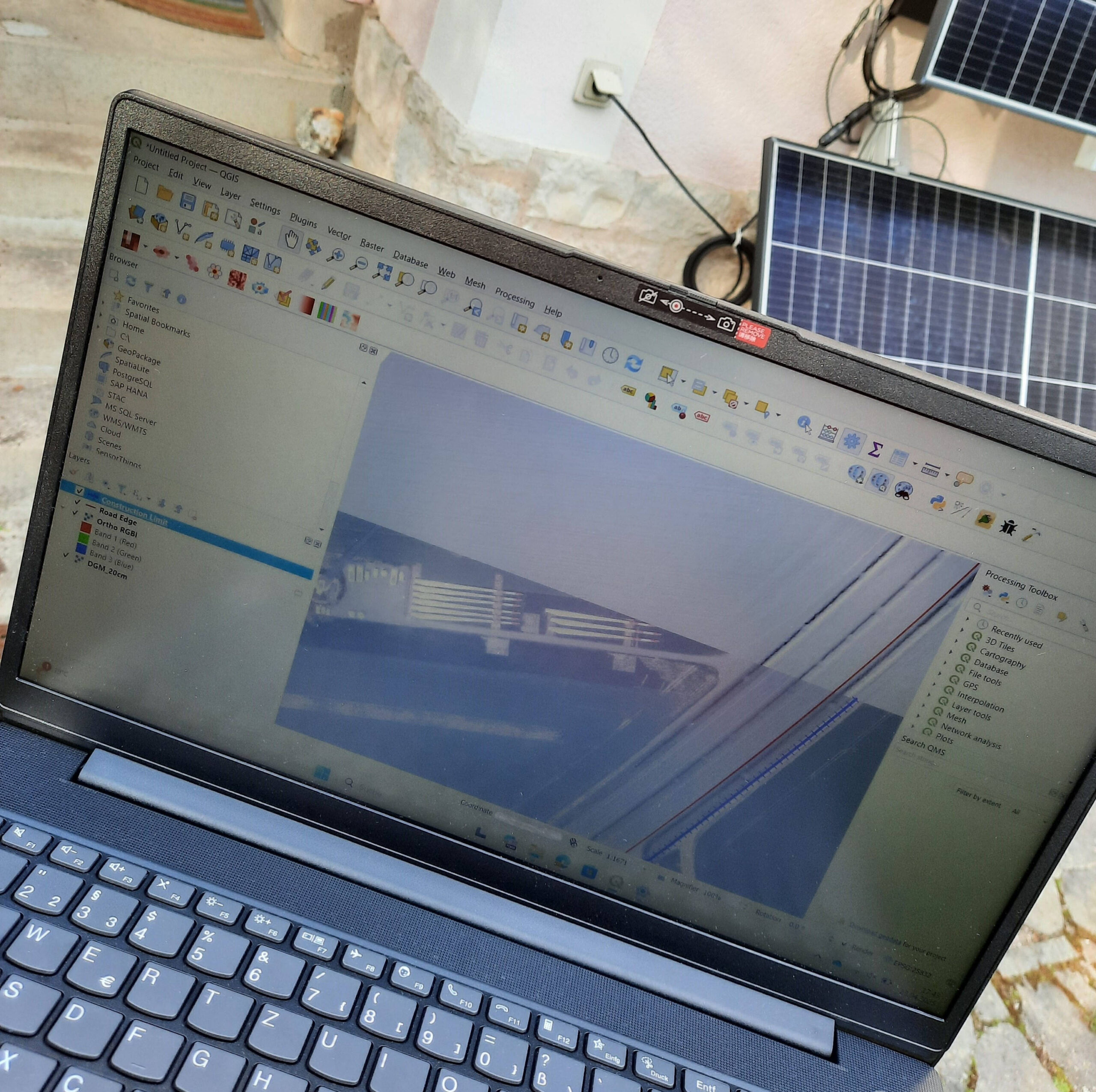
From the abstract: After a decline in the mid-2010s, the installation of Ground-mounted Photovoltaic Systems in Germany has risen again sharply in recent years. Areas next to highways are particularly attractive as conversion is easier under planning law, the grid connection is less complicated, and agricultural use is less attractive due to the pollution caused by traffic. However, defined distances from the road must be maintained, which are derived from the terrain on site. To simplify the calculation of these distances in different planning phases, I developed a QGIS plugin during my InnoLab at topodat (www.topodat.de/) that can be applied to a variety of spatial contexts and input geodata. In my presentation, I will explain and demonstrate the plugin’s functionalities and give some general information about QGIS plugin development.
1st supervisor: Prof. Dr. Tobias Ullmann

read more news:

🗺 Exploring Map Visualizations

🗺 Exploring Map Visualizations

Within our EAGLE courses our students have to learn a wide variety of skills - beside the fundamental earth observation theory and practice also skills like map creation is part of the curriculum. One of our students Ronja Seitz has created three visualizations guides...

Course on Object-based image analysis

Course on Object-based image analysis

Dr. Michael Wurm from the German Aerospace Center (DLR) gave a class about Object-based image analysis (OBIA) using the eCognition Software for the EAGLE students. The course gives an insight into the theoretical basis of OBIA and using different datasets and tasks...