
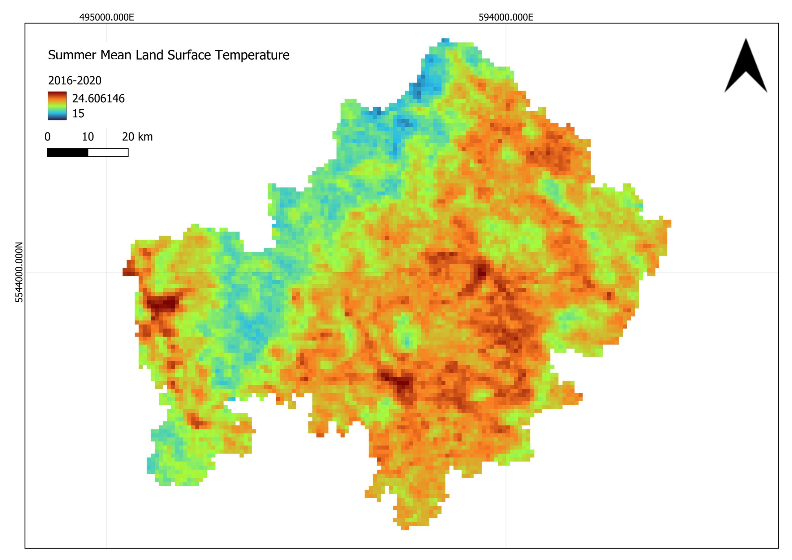
On March 18, 2026, Jyoti Biswas will present her Master Thesis on ” Satellite-Based Assessment of Geo-Climatic Variability in Lower Franconia: Identifying Climate-Related Risks” at 13:00 in seminar room 3, John-Skilton-Str. 4a.
From the abstract: The study examines how changes in Land Use and Land Cover (LULC) influence surface temperatures in Lower Franconia between 2001 and 2020. Using the Landsat and MODIS archives, it analyses different land cover types, their temporal development, and their relationship with summer Land Surface Temperature (LST). The results show significant changes in land cover classes over time, with distinct land surface temperature patterns by different land cover types. Overall, the research highlights how land cover changes affect regional temperature, emphasising the importance of sustainable land management in mitigating the effects of heat.
1st supervisor: Prof. Dr Tobias Ullmann
2nd (external) supervisor: Dr. Martin Wegmann
From the abstract: The study examines how changes in Land Use and Land Cover (LULC) influence surface temperatures in Lower Franconia between 2001 and 2020. Using the Landsat and MODIS archives, it analyses different land cover types, their temporal development, and their relationship with summer Land Surface Temperature (LST). The results show significant changes in land cover classes over time, with distinct land surface temperature patterns by different land cover types. Overall, the research highlights how land cover changes affect regional temperature, emphasising the importance of sustainable land management in mitigating the effects of heat.
1st supervisor: Prof. Dr Tobias Ullmann
2nd (external) supervisor: Dr. Martin Wegmann




![[Spotlight] Lecturer Spotlight: Julian Faeth](https://eagle-science.org/wp-content/uploads/2026/10/Julian_Faeth_EORC_EAGLE_2026-400x250.jpg)



