
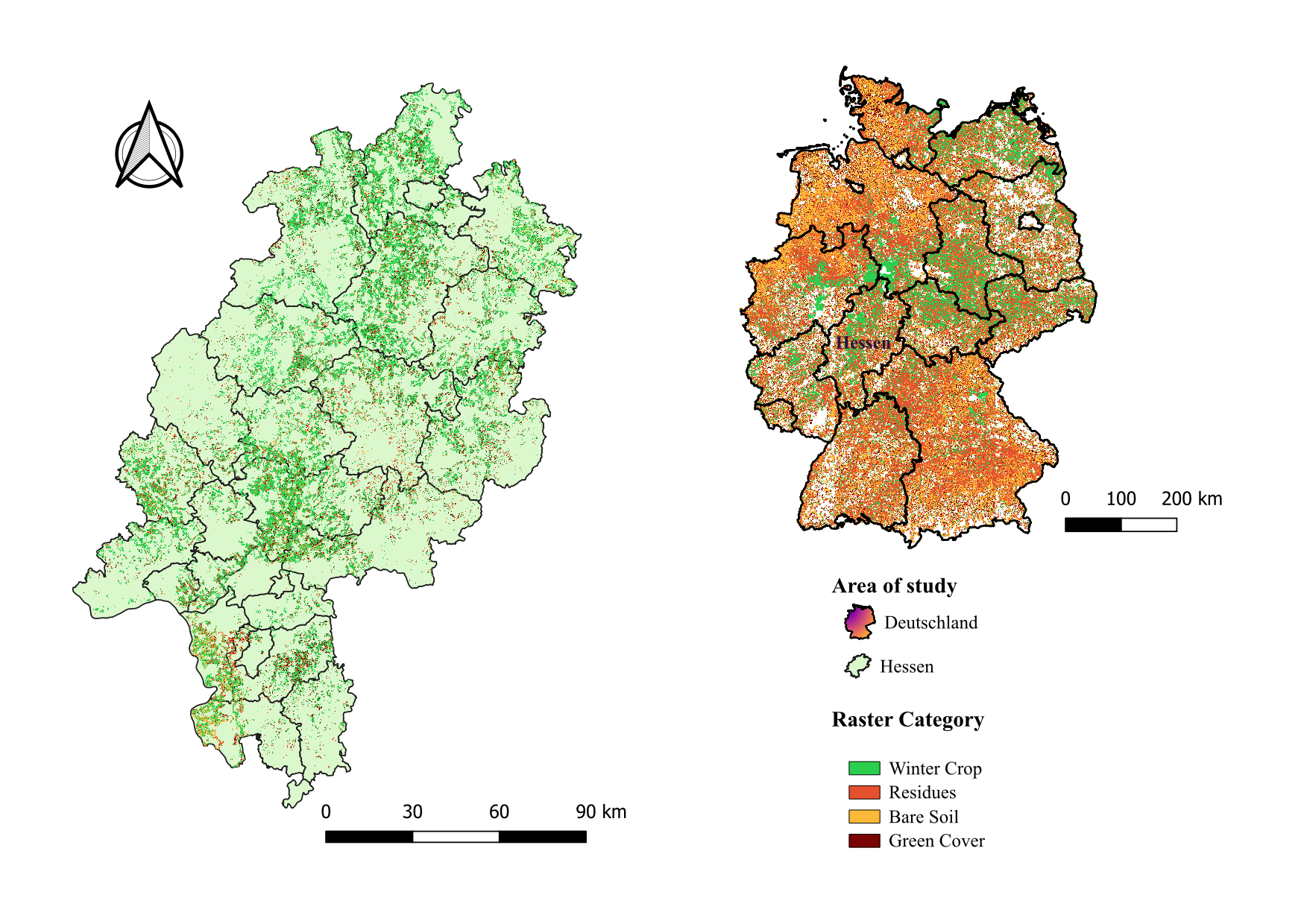
On March 24, 2026, Guisseppe Vasquez will present his internship results on ” Validation of High-Resolution Crop Classification Maps in Hessen Using IACS Parcel Data ” at 12:30 in seminar room 3, John-Skilton-Str. 4a.type of presentation:
From the abstract: My internship work at the Thünen Institute, where I contributed to the analysis of high-resolution crop classification maps for agricultural monitoring in Germany. The objective was to evaluate the accuracy of raster-based crop information by comparing satellite-derived maps with parcel-level data from the Integrated Administration and Control System (IACS). Using geospatial processing and statistical analysis in R, pixel-level metrics were calculated to assess the agreement between remote sensing products and official agricultural records for the region of Hessen. The results provide insights into the reliability of high-resolution crop datasets for agricultural and environmental research.
1st supervisor: Dr. Maninder Singh Dhillon Host: Johann Heinrich von Thünen Institute
From the abstract: My internship work at the Thünen Institute, where I contributed to the analysis of high-resolution crop classification maps for agricultural monitoring in Germany. The objective was to evaluate the accuracy of raster-based crop information by comparing satellite-derived maps with parcel-level data from the Integrated Administration and Control System (IACS). Using geospatial processing and statistical analysis in R, pixel-level metrics were calculated to assess the agreement between remote sensing products and official agricultural records for the region of Hessen. The results provide insights into the reliability of high-resolution crop datasets for agricultural and environmental research.
1st supervisor: Dr. Maninder Singh Dhillon Host: Johann Heinrich von Thünen Institute

![[Spotlight] Lecturer Spotlight: Julian Faeth](https://eagle-science.org/wp-content/uploads/2026/10/Julian_Faeth_EORC_EAGLE_2026-400x250.jpg)






