Various very specific scientific software packages are developed to serve specific purposes like the SNAP tools for Sentinel fleet data processing. Our EAGLEs have to learn the wealth of relevant software packages for our field of research and get to know the pros and cons of each tool in order to be able to pick the right tool in their internship, Msc thesis or future professional life.
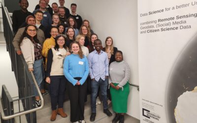
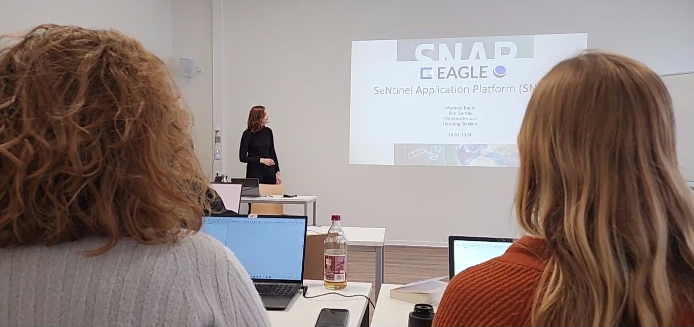
Within the Digital Image Analysis course the students have to plan and organize a 2h lecture with practical examples of predefined software packages and teach their fellow students how each software works using concrete examples and providing data for the processing. Today SNAP was covered by Marlene, Christina, Elin and Henning and they covered very nicely the processing of various Sentinel data sets for different applications like wildfire mapping.
Within the Digital Image Analysis course the students have to plan and organize a 2h lecture with practical examples of predefined software packages and teach their fellow students how each software works using concrete examples and providing data for the processing. Today SNAP was covered by Marlene, Christina, Elin and Henning and they covered very nicely the processing of various Sentinel data sets for different applications like wildfire mapping.