GRASS GIS introduced in our EAGLE MSc

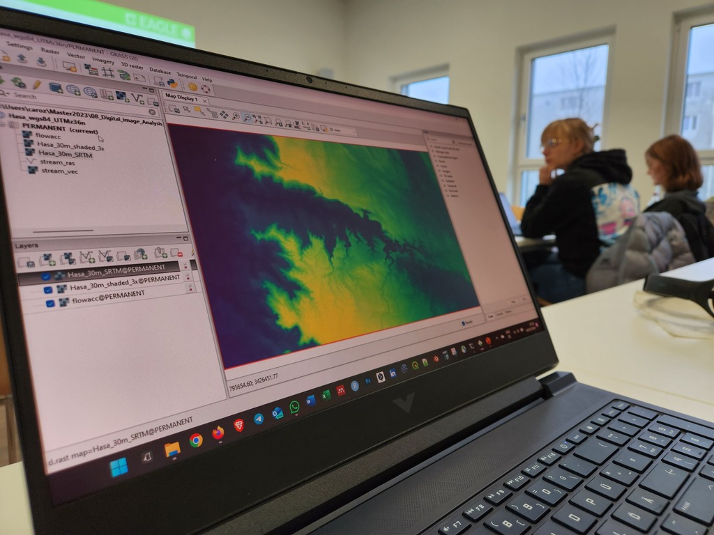
The very powerful and versatile spatial analysis program, GRASS, is introduced today within our EAGLE spatial data software course.
GRASS provides a wide variety of functions, but just a few possibilities such as VI calculation, time-series or Python programming in GRASS are covered. The software could easily fill a whole semester course and is specifially interesting to people working in teams in similar study areas through the internal GRASS data base.
Jean, Gökce, Guiseppe and Wajiha did a great job showing the capabilities of GRASS and break down the complexity of this scientific package for professionals into some very useful and obvious applications.

read more news:

Integrating R and Whitebox Tools for Geospatial Analysis

Integrating R and Whitebox Tools for Geospatial Analysis

Within the EAGLE M.Sc. program our Earth Observation students have managed to understand some important research approaches within just the first term of their studies. Integrating and working with several environments simultaneously is a critical tasks for their...

Empowering Future Earth Observation Experts! 🌍

Empowering Future Earth Observation Experts! 🌍

At EAGLE, our Earth Observation students are diving deep into the fascinating world of geospatial analysis! Through hands-on training, they master cutting-edge algorithms and techniques to address pressing environmental challenges such as Georisk Assessment:...