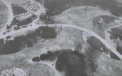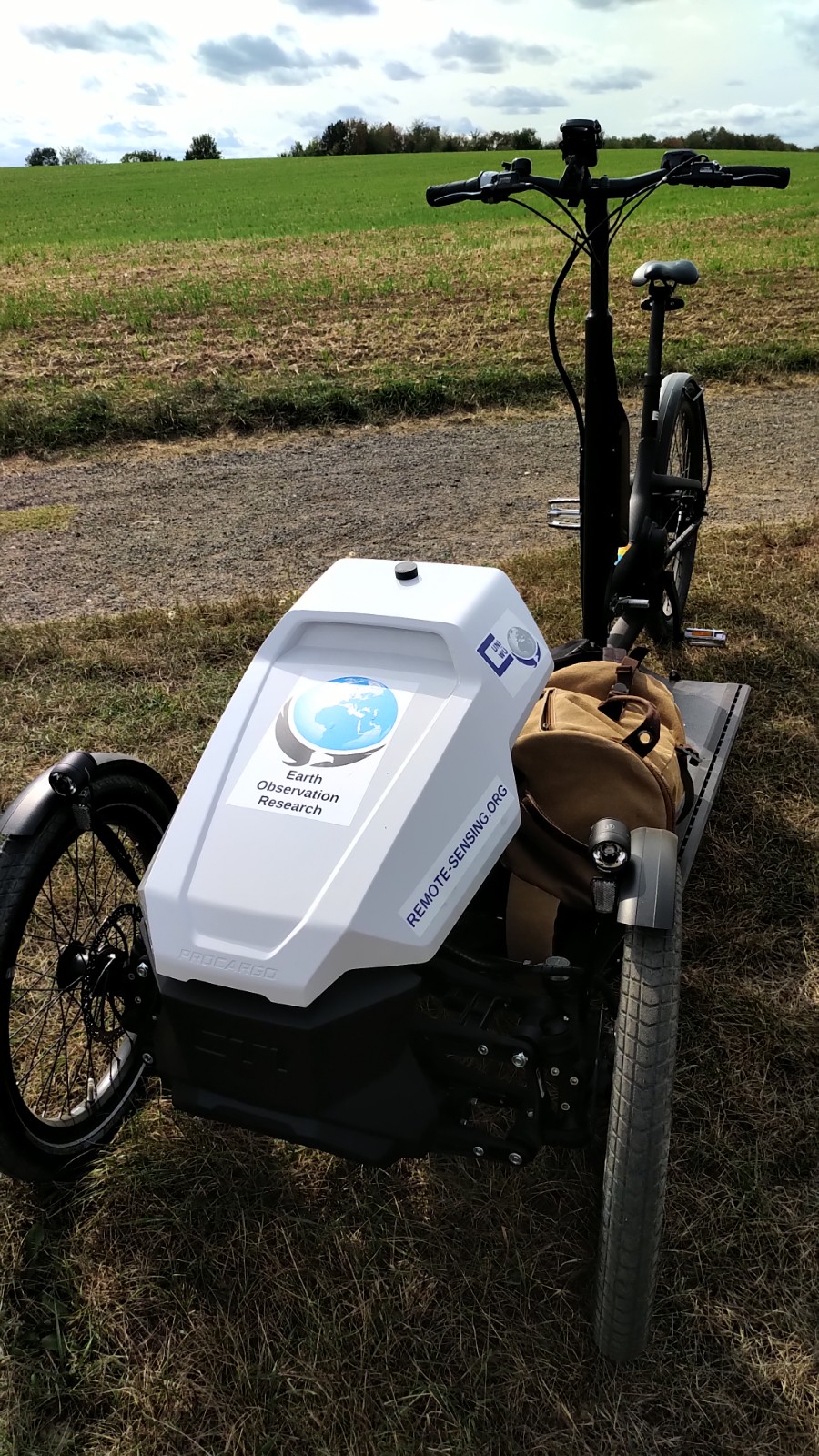
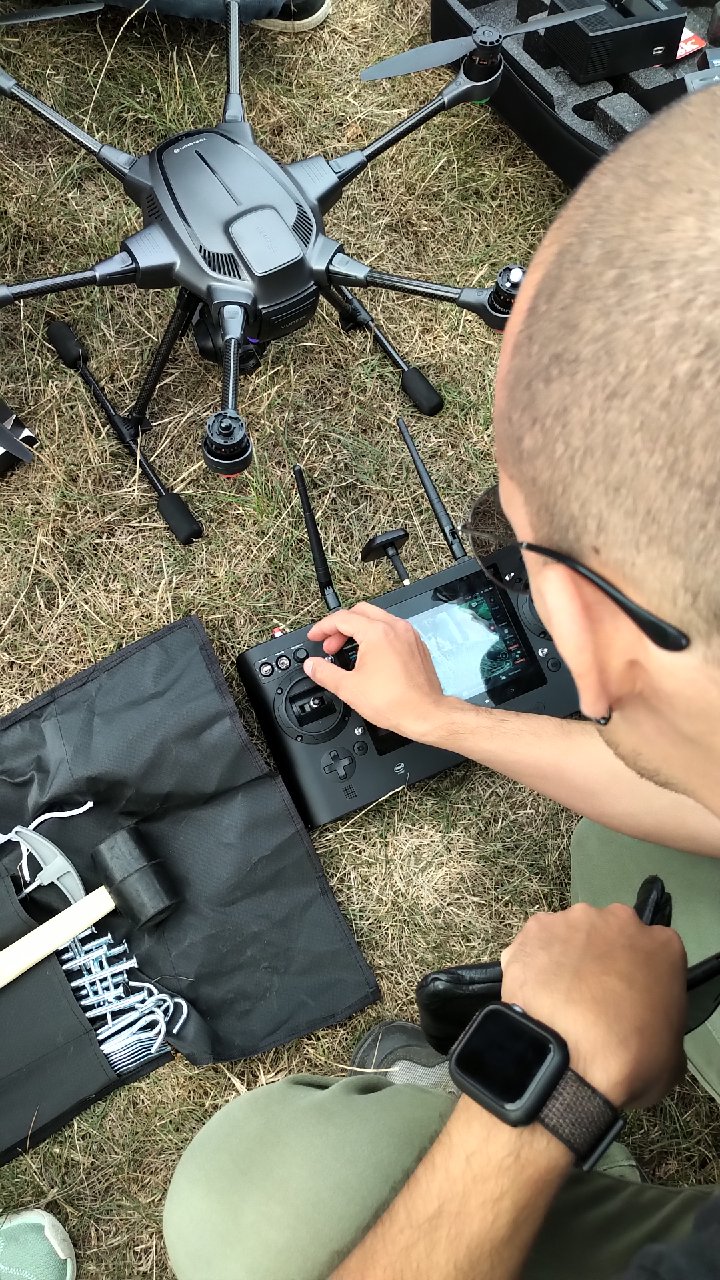
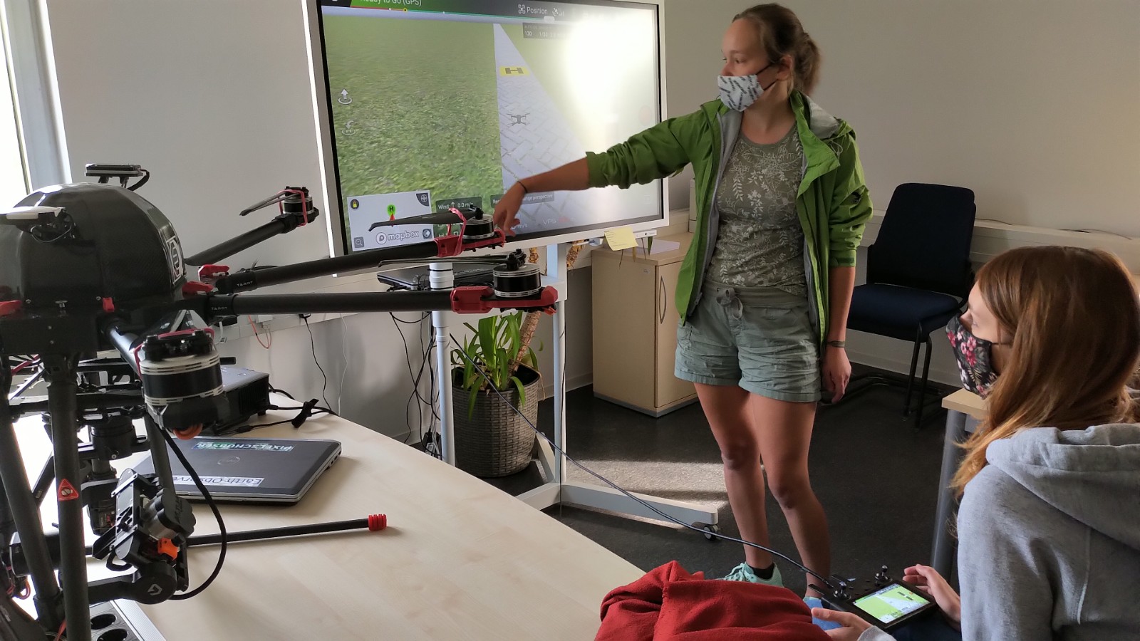
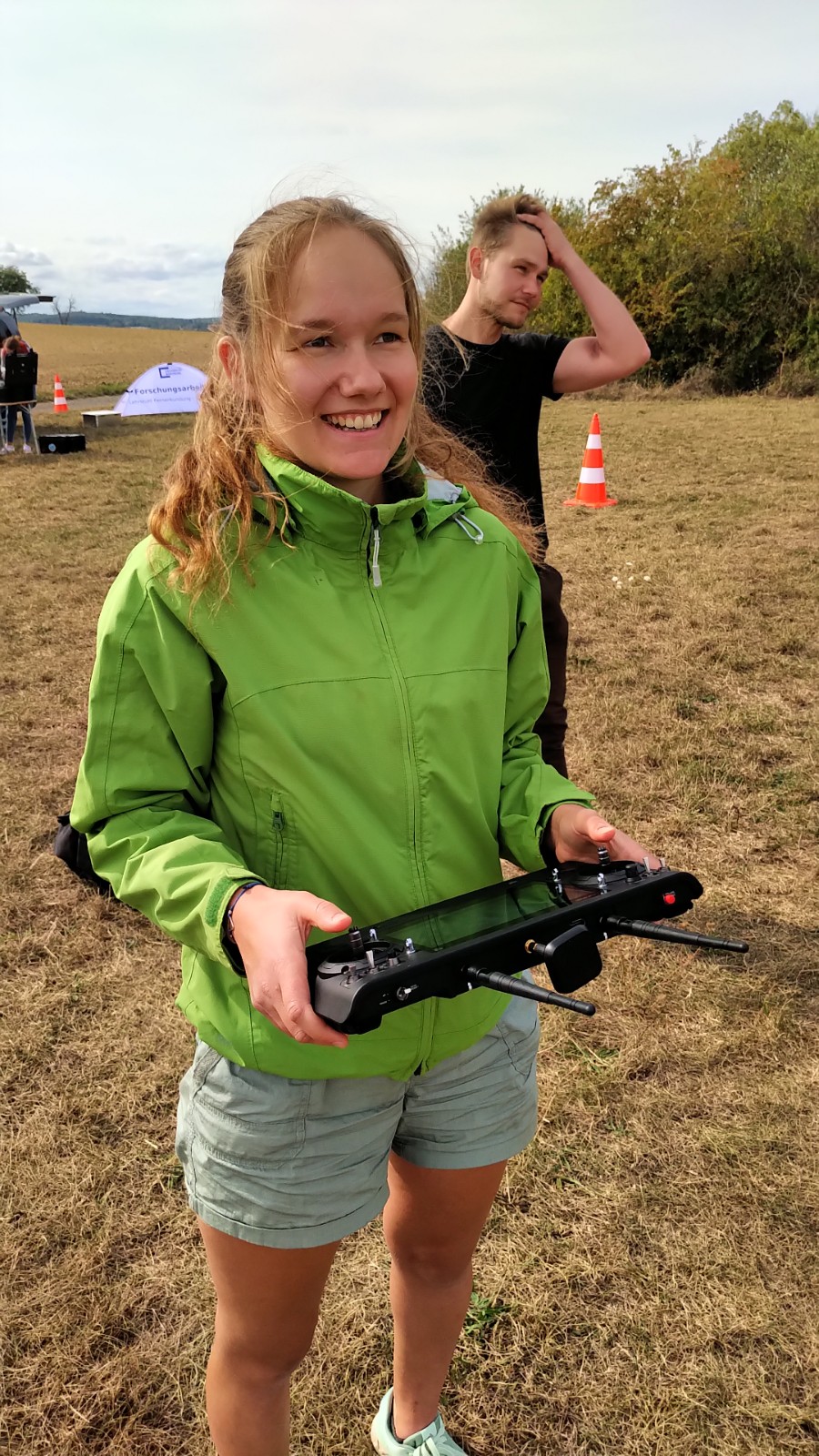
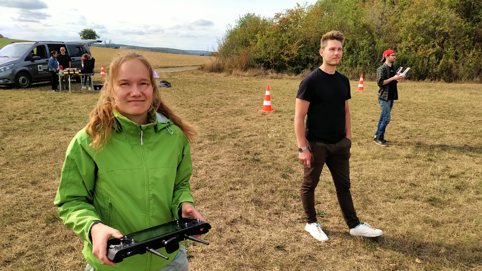
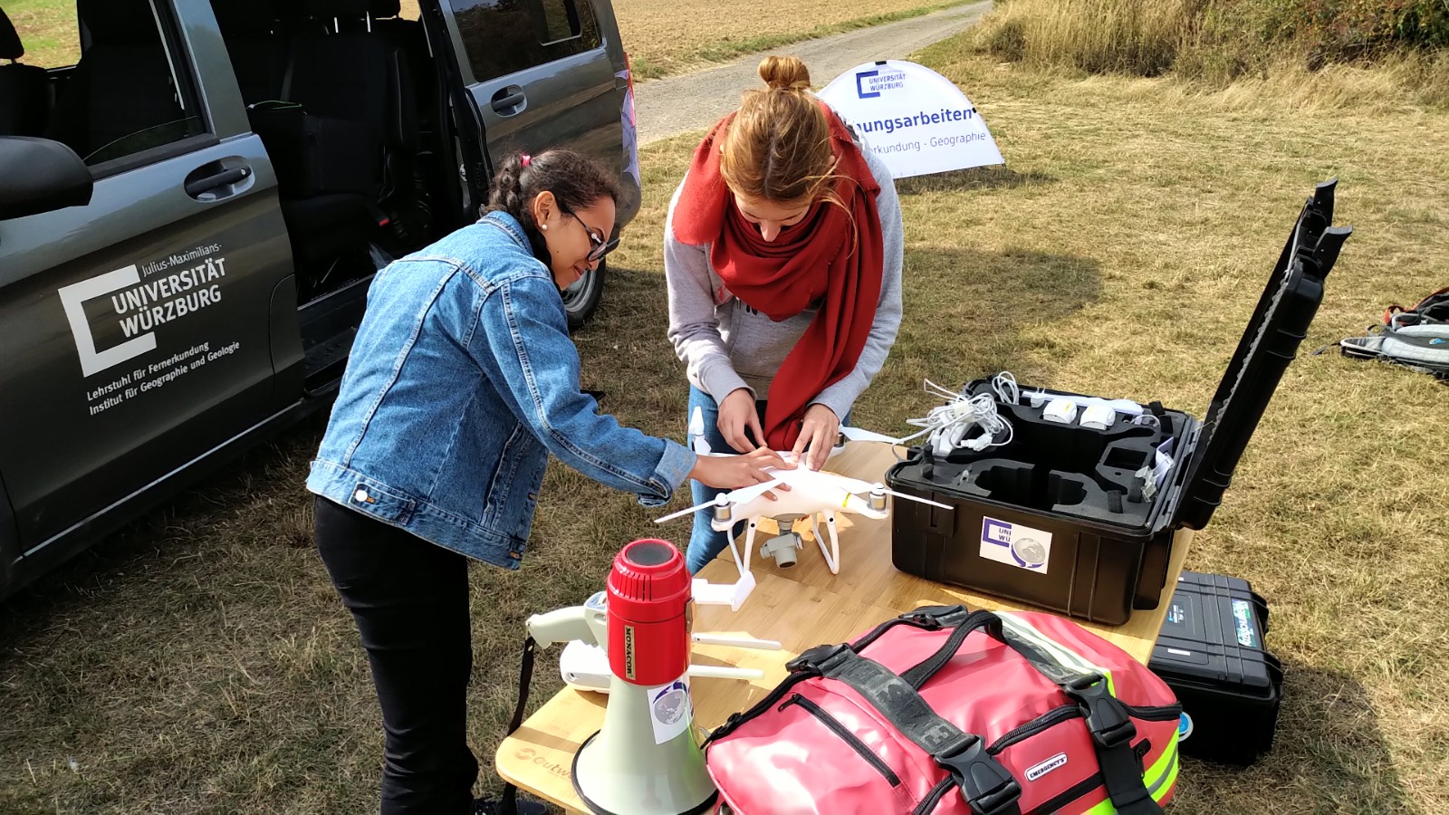
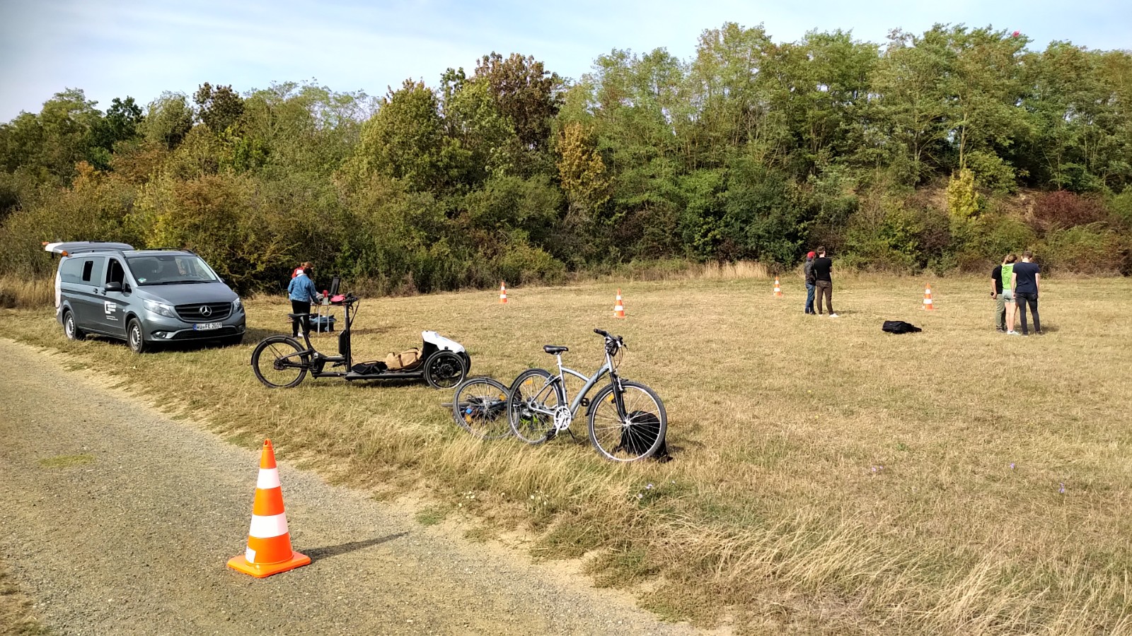
In September 2020 our UAV course took place and all practical exercises were covered. The manual UAV control as well as the automatic mission planning settings were discussed and actually applied. Various UAV systems were explored by the students and a diversity of data will be used for further analysis of the UAV very high resolution imagery such as multispectral and thermal data. Lidar data will be available as well. We are very much looking forward what our students will come up with concerning relevant UAV analysis for Earth Observation applications


![[spotlight] Lecturer Spotlight: Martin Wegmann](https://eagle-science.org/wp-content/uploads/2026/07/Martin_Wegmann_EAGLE_lecture_2026-400x250.jpg)