About
Hooman Latifi is an assistant professor at the Dept. of remote sensing of the University of Würzburg. He is also the representative of the working group “Ecology and Environment” of the German region of the International Biometric Society (IBS-DR). His research interests are mainly applied spatial analysis of forest entities (Structure, biodiversity and forest health indicators) by means of airborne (in particular LiDAR) remote sensing. In addition to his research activities, he has been involved in numerous internal and external teaching events on LiDAR remote sensing, open-source image processing software and remote sensing-assisted of forest and environmental management.
Courses
News and Updates
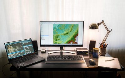
please look here for updates on research and projects:
http://remote-sensing.eu/author/hooman-latifi
University of Wuerzburg
Dept. of Remote Sensing
email: hooman.latifi@uni-wuerzburg.de
phone: +49 (0)931 31 89638
Recent News
2020 applications
We received again a high number of very good applicants and are currently working through all application files. We will invite all eligible applicants in the next weeks for an interview. In total we received 137 eligible applications from the EU as well as North and...

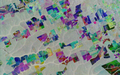
MSc idea presentation by Aida Taghavi
Aida will present on Friday, May 22nd at 2:30pm her MSc idea "Potentials of Cosmic-Ray Neutron Probes for Assessing and Mapping SAR-based Soil Moisture in a Mediterranean agro-forestry ecosystem by developing an integrated ground- and space-based Modelling Framework"....
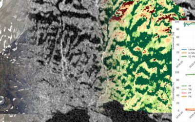
Sebastian Buchelt successfully presented his MSc thesis
Sebastian Buchelt successfully presented his MSc thesis - congratulations! Read more about his research project here.
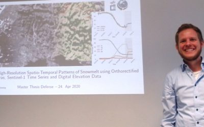
MSc defense by Sebastian Buchelt
Sebastian Buchelt will present his M.Sc. thesis "Analysis of High-Resolution Spatio-Temporal Patterns of Snowmelt using Orthorectified Photo Cameras, Sentinel-1 Time Series and Digital Elevation Data" in a virtual course room. From the abstract: " Snow is one of the...

Successful virtual MSc defense by Silvan Steiner
Congratulation to Silvan Steiner, our first EAGLE passing with a virtual MSc defense!
Covid-19 situation and EAGLE
The Covid-19 situation is also challenging for the University as well as the EAGLE program. Even though we are all in the process to adapt to this new situation, the program itself is continuing as usual. All courses, exams, MSc thesis defense and so on will take...
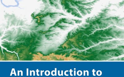
new book by our lecturer “Intro to Spatial Data Analysis”
The upcoming book by our lecturer Jakob Schwalb-Willmann, Stefan Dech and Martin Wegmann on "Introduction to Spatial Data Analysis" with QGIS and first steps in R is available for pre-order - order now and get 30% discount. This textbook aims at students and...
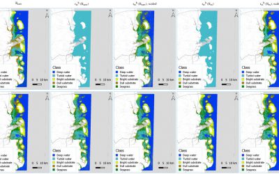
M.Sc. defense by Benjamin Lee
Benjamin will defend his M.Sc. thesis " DEVELOPMENT OF A SEMI-ANALYTICAL MODEL FOR SEAGRASS MAPPING USING CLOUD-BASED COMPUTING AND OPEN SOURCED OPTICAL SATELLITE DATA" on Friday March 6th 10 am in room 1.009 OKW 86. from the abstract: "Seagrasses provide USD$2.28...
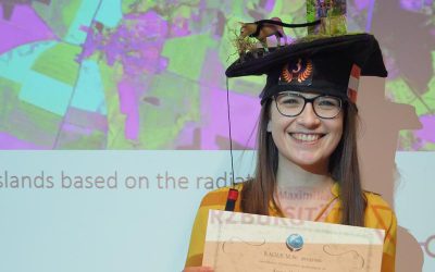
Anna Orthofer successfully presented her M.Sc. thesis
Anna Orthofer presented last Friday her M.Sc. thesis "Deriving Leaf Area Index and mowing dates for grasslands based on the radiative transfer model SLC and Sentinel 2 data" successfully and is our first EAGLE M.Sc. graduate in 2020. Congratulations!
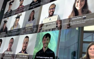
EAGLE wall of fame – our graduates
All our graduated EAGLE students are shown on our wall-of-fame. Great way to see who studied when and what was the topic about. Some of them are already doing their PhD with us or other research organizations and two of these graduates just founded their own remote...