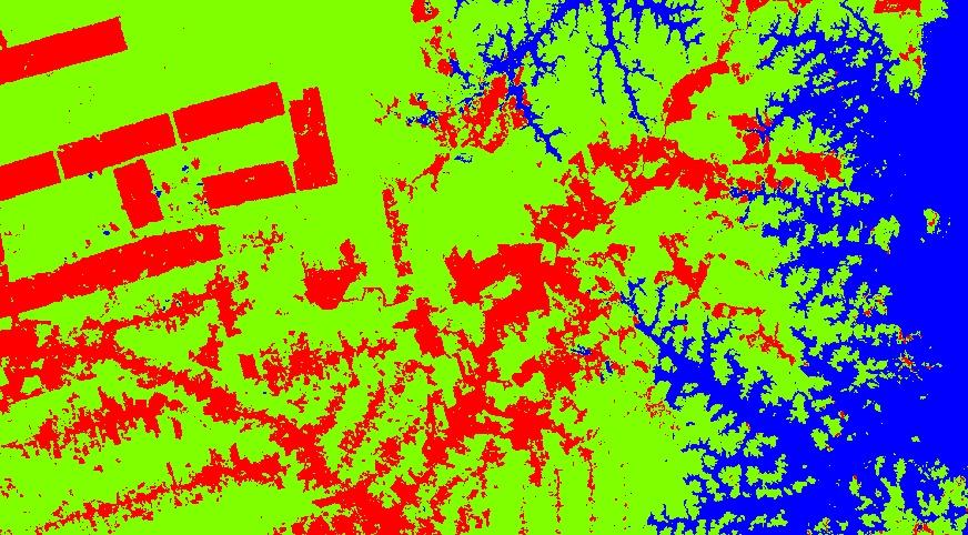
 Henrike Schulte to Bühne started her M.Sc. „Quantifying landcover change using remote sensing data in a transboundary protected area“ in cooperation with the Zoological Society of London, Dr. Nathalie Pettorelli within the Global Change Ecology study program. Her M.Sc. is dealing with evaluating the status and change of nationalparks especially transboundary ones. Countries increasingly cooperate across boundaries for conservation purposes and these need to be evaluated and monitored constantly. Henrike is using remote sensing data to analyze environmental changes and is discussing the results with respect to conservation planning and political implications.

EAGLE MSc Defense: New Housing Development Areas: Assessing Structural Types and Environmental Effect
On September 22, 2026, Agnes Zwick will present her Master Thesis on " New Housing Development Areas: Assessing Structural Types and Environmental Effect" at 10:00 at the seminar room 3 in John-Skilton-Str. 4a. From the abstract: Germany faces a persistent tension...






![[spotlight] Lecturer Spotlight: Martin Wegmann](https://eagle-science.org/wp-content/uploads/2026/07/Martin_Wegmann_EAGLE_lecture_2026-400x250.jpg)