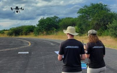
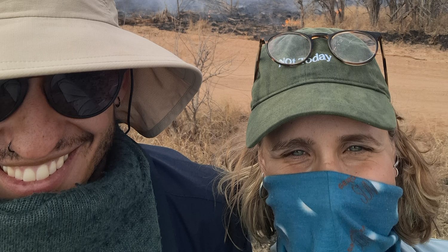
Wildfires are an essential ecological process in African savannas, shaping landscapes, influencing biodiversity, and playing a key role in nutrient cycling. Understanding their dynamics is crucial for both science and management – and this is where EAGLE MSc student Anna Bischof steps in.
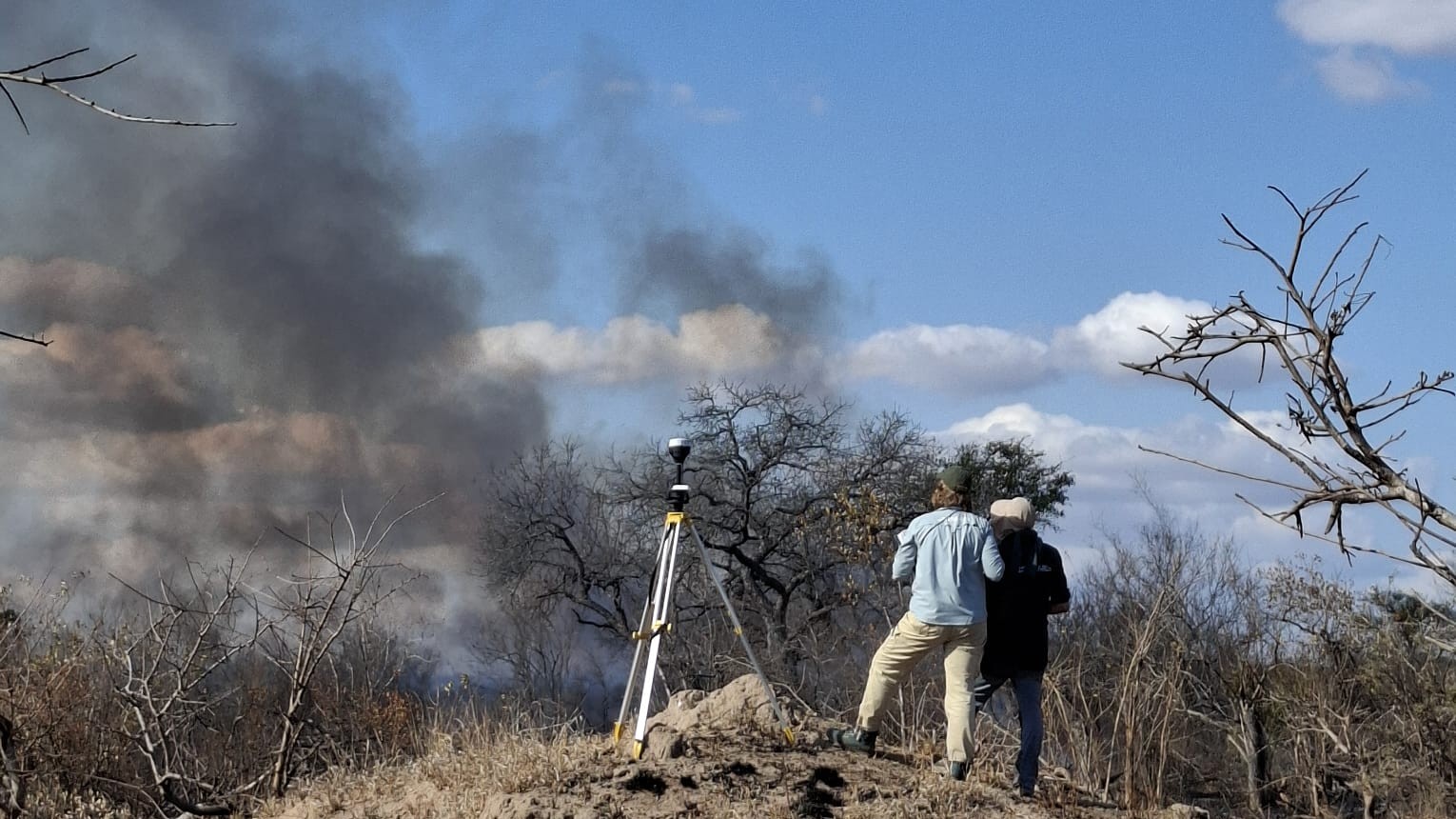
As part of her master’s thesis, Anna is analysing spatio-temporal fire patterns in African savannas using multi-sensor unoccupied aerial systems (UAS). Her work is ambitious: three thermal UAS platforms fly in parallel, monitoring fires from different positions, angles, and perspectives. This setup captures a wealth of data, offering a unique 3D view of fire spread and intensity as they evolve over time.
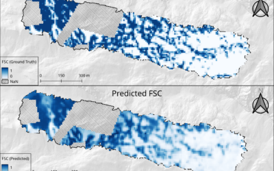
The real challenge begins after the flights. Anna is developing algorithms to correct and align these multi-perspective datasets into a consistent, plane raster format with homogeneous pixels – each containing reliable information about fire properties. Achieving this requires a mix of remote sensing expertise, mathematical modelling, and careful algorithm design, balancing scientific rigour with the unpredictable nature of field data.
Her goal: to create tools that can track how fires move and how intense they burn, ultimately providing new insights into savanna fire behaviour and helping improve monitoring strategies.
Anna’s thesis is supervised by Antonio Castañeda and Dr. Mirjana Bevanda, whose guidance supports the project’s blend of advanced UAS technology, thermal remote sensing, and spatial data science.
With her innovative approach, Anna is not only pushing the boundaries of UAS-based fire mapping, but also contributing to the broader understanding of one of Earth’s most dynamic ecosystems.
![FW: [EORC Talk] Pathways towards a Healthy City – 10 March 2026, 03 pm](https://eagle-science.org/wp-content/uploads/2026/03/image001.jpg)