

Innolab Presentation: Enhancing Satellite Data Processing for Global Shallow Water Bathymetry at EOMAP
On September 10, 2024, Isabella Metz will present her Inno Lab results on ” Enhancing Satellite Data Processing for Global Shallow Water Bathymetry at EOMAP” at 12:00 in seminar room 3, John-Skilton-Str. 4a. From the abstract: About 75% of the oceans have...
Internship Presentation: Application of synthetic aperture radar (SAR) data: Case study in flood mapping in Costa Rica and technical capacity building of the PRIAS team
On October 01, 2024, Ariana Sofía Argüello Cordero will present her internship ” Application of synthetic aperture radar (SAR) data: Case study in flood mapping in Costa Rica and technical capacity building of the PRIAS team” at 12:00 in seminar room 3,...
Internship Presentation: Small-scale 3D model generation by photogrammetry of alpine vegetation in Berchtesgaden National Park
On Tuesday, August 20, 2024 at 10:00 a.m. Daniel Gruschwitz will present his internship “Small-scale 3D model generation by photogrammetry of alpine vegetation in Berchtesgaden National Park” in seminar room 3, John-Skilton-Str. 4a. From the abstract:...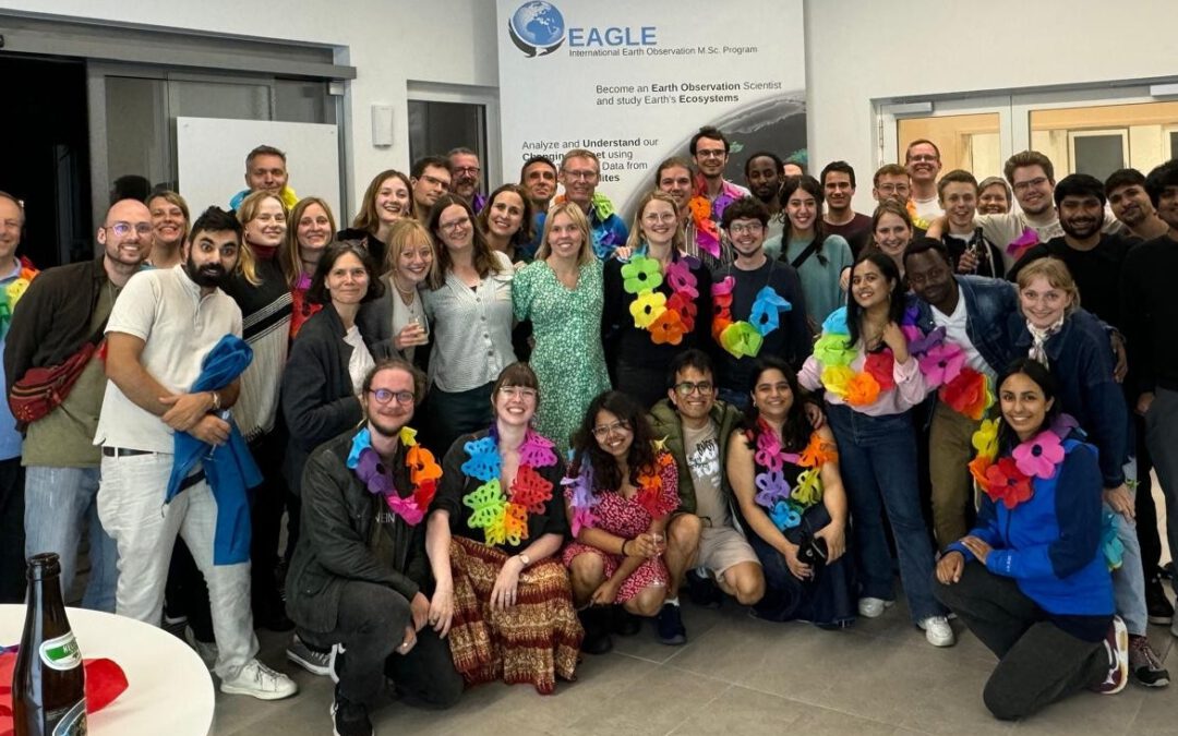
EAGLE summer dialogue
Our annual EAGLE summer dialogue was a great success again even though the weather was quite challenging. The EAGLEs organized a fantastic event with fun activities, great images reviving the last months and years and of course a BBQ, drinks and an outstanding...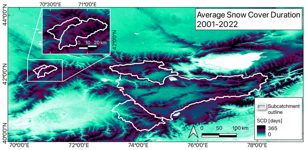
new publication by our EAGLE student Clara Vydra
Our EAGLE student Clara just published an article about snow cover variability in Central Asia – great to see our young EAGLE MSc students being on a good track for their scientific career. from the abstract: “Climate change is affecting the snow cover...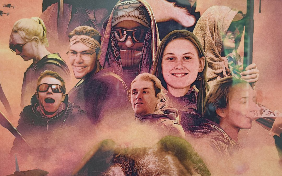
UAS team – meme
The UAS (UAV or drone) team was quite busy the last months to collect data in Europe, Africa or Arctic and the group spend plenty of hours traveling and collecting Lidar, multispectral, thermal or hyperspectral data in various ecosystems. Of course in many cases faced...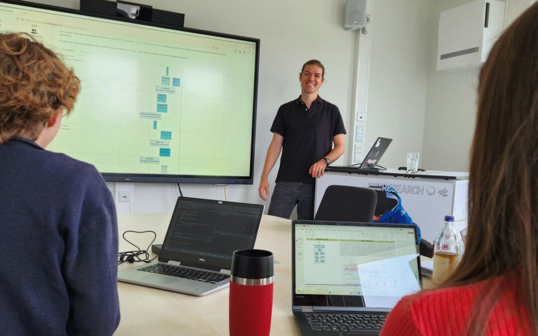
scientific graphics course
Beside the various remote sensing courses such as radar, cloud computing, terrain analysis, urban analysis etc. we do also offer courses on softskills such as scientific writing, presentations as well scientific graphics and maps. Within our scientific graphics course...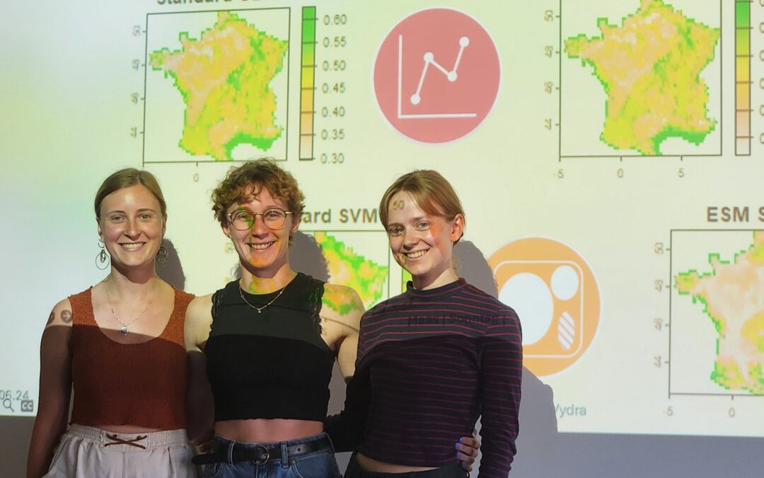
EAGLE students introduce locust spatio-temporal modeling
Our EAGLE students Leonie, Sonja and Clara presented methods to model the spatial and temporal distribution of locust in France using statistical modelling approaches within R and the flexSDM package. The elaborated for two hours how the complex data preparation,...