Aim
Modern exploration for georesources is based on the spatial quantification of all those geological parameters relevant to the formation of mineral deposits. The students will obtain knowledge of the methods that can be applied to the formulation of mineral potential maps for a given region.
Content
Mineral deposits are considered products of complex mineral systems, which can be described by a number of parameters that vary in space and time. Various methods of spatially quantifying these parameters and integrating them into mineral potential maps will be discussed and applied with the help of conventional GIS software.
Coding
Coding examples and individual work will be covered
Software
Various software programs will be used, but mainly OpenSource software such as R.
Techniques
Different techniques will be introduced and practically applied.
Content
The content of scientific with regard to the audience will be discussed.
General Course News and Updates
MSc defense by Henrik Fisser
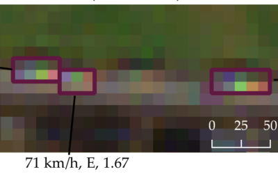
Henrik Fisser will present his M.Sc. thesis on Thursday 17th of June at 9am about “Sentinel-2-based moving truck detection for spatiotemporal road cargo emission and density approximation”. More details from his abstract: "In many countries freight is mainly...
MSc defense of Basil Tufail
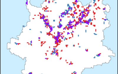
Basil Tufail will present his M.Sc. thesis "Monitoring the Displacement of an Active Tailings Dam in Peru using Persistent Scatterer Interferometry (PS-InSAR)" on Friday, June 18th, at 9am. From the abstract: "As mining activities and the number of tailings dam grow...
MSc defense by Magdalena Halbgewachs
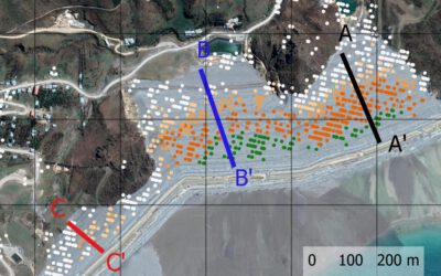
Magdalena Halbgewachs will present her MSc thesis "A Spectral Mixture Analysis and Landscape Metrics based framework for monitoring spatio-temporal forest cover changes: A case study in Mato Grosso, Brazil" on Wednesday 16th of June at 9am. From the abstract: More and...
Review of applications
Dear all applicants in 2021, we are currently working through the first evaluation of all 230 applications and will send out invitations for interviews in the next days/weeks. Unfortunately we are a bit delayed due to the high number of applications and we want to...
MSc thesis defense by Johannes Mast
Johannes Mast will present his thesis "Analyzing the relationship between urban morphology and economic subcenters with a focus on urban polycentricity using remote sensing and socioeconomic data" on Monday 14th of June at 9am. From the abstract: "Polycentricity...

high number of application submitted for 2021
The application deadline for the 2021 EAGLE generation passed yesterday and 230 application were submitted. That are 80 more than last year. Check out who started in the 2020 EAGLE generation here. We are now going through each single one and check for general...
EAGLE 2021 application deadline approaching
the application deadline for our international Earth Observation M.Sc. program EAGLE is slowly approaching. Apply before May 15th to be reviewed and potentially interviewed for a place in the 2021 EAGLE group. Check out our courses, our lecturer and most important...

Internship, inno lab and MSc idea presentations
On Thursday, May 20th, at 2pm the following students will present their internship, inno lab or MSc thesis idea: Christopher Chan:“Patching up old Deep Learning code and working with data center remotely” (Internship with DLR, supervisor Benjamin Leutner) Diego...
inno lab and MSc idea presentation
Next Tuesday, April 27th, at 10am the following EAGLE students will present their Innovation Laboratory work and their MSc thesis idea: Sandro Groth: "PortalAdminTools: A Python-based programming interface for Esri Enterprise infrastructures" (InnoLab with ESRI)Sandro...
internship and MSc idea presentation
on Tuesday April 6th 3pm we will have the folling internship and MSc idea presentations: Joy-Giovanni Matabishi, " MESMA of DESIS data to identify Rooftops in Kigali"- Internship/EKUT Luisa Pflumm, "Comparison of the performance of different accessibility layers for...