Aim
Modern exploration for georesources is based on the spatial quantification of all those geological parameters relevant to the formation of mineral deposits. The students will obtain knowledge of the methods that can be applied to the formulation of mineral potential maps for a given region.
Content
Mineral deposits are considered products of complex mineral systems, which can be described by a number of parameters that vary in space and time. Various methods of spatially quantifying these parameters and integrating them into mineral potential maps will be discussed and applied with the help of conventional GIS software.
Coding
Coding examples and individual work will be covered
Software
Various software programs will be used, but mainly OpenSource software such as R.
Techniques
Different techniques will be introduced and practically applied.
Content
The content of scientific with regard to the audience will be discussed.
General Course News and Updates
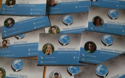
EAGLE students preparing for ESA LPS 2019
our EAGLE students are organizing a joint trip and accommodation to the ESA LPS symposium in Milan and are currently preparing all other things such as business cards. They are very much looking forward to many highly interesting presentations and to meet diverse...

Ahmed Saadallah successfully defended his thesis
We congratulate Ahmed for his great M.Sc. presentation and the whole audience for the very lively discussions on methods and implications plus historical reasons of the detected patterns. Another EAGLE M.Sc. students graduated and is now an Earth Observation...
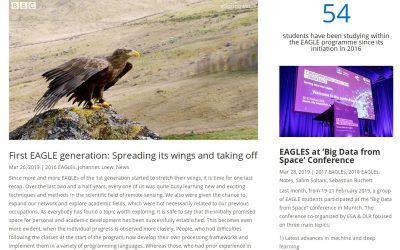
check out the news blog by our students
Our EAGLE students are posting various news about their activities, experiences or codes they developed. Read about their past years within the EAGLE program, their participation in international remote sensing conferences or what they achieved within EAGLE courses....

M.Sc. thesis presentation by Ahmed Saadallah
Ahmed Saadallah will defend his M.Sc. thesis "The Potential of Earth Observation for Monitoring Agricultural Lands in Egypt (1984-2017)" on Wednesday 10th of April at 2pm in the student working room JMW 52. The need for accurate and timely information on the extent...
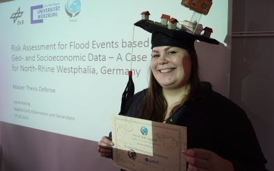
Sarah Nolting defended her M.Sc.
Congratulation to Sarah Nolting for successfully defending her M.Sc. thesis! Another interesting EAGLE M.Sc. thesis presented on flood risks and populations in urban environments.
Congratulation to Johannes Loew for a successful M.Sc. defense
We congratulate Johannes Löw to a great M.Sc. defense within the EAGLE colloquium! Another great remote sensing M.Sc. thesis has been defended within the EAGLE program.

Congratulations to Pilar for a successful MSc graduation
Pilar Endara Pinillos succssfully defended her M.Sc. thesis within the EAGLE colloquium. Congratulations to Pilar!
M.Sc. defense of Sarah Nolting
Sarah Nolting will defend her M.Sc. thesis "Risk Assessment for Flood Events based on Geo- and Socioeconomic Data – A Case Study for North-Rhine Westphalia, Germany" on Wednesday 27th 2pm in room 0.004 OKW 86. from her abstract: "The world’s population has doubled...
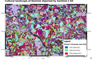
M.Sc. defense by Johannes Löw
You are all invited to join the M.Sc. presentation by Johannes Löw. He will defend his M.Sc. thesis on Wednesday 20th of March at 2pm in room 0.004 in OKW 86. from his abstract:Since Sentinel-1 A and B have become fully operational, it is now possible to generate...
Pilar Endara Pinillos handed in her M.Sc. thesis
Pilar Endara Pinillos handed in her M.Sc. thesis "Flooding patterns and vegetation developments in the Orinoco flooded savannas of Colombia." Her M.Sc. defense will be on Wednesday 13th at 2pm in room 0.004 (OKW 86). The ecosystems that are present within Colombian...