Aim
Modern exploration for georesources is based on the spatial quantification of all those geological parameters relevant to the formation of mineral deposits. The students will obtain knowledge of the methods that can be applied to the formulation of mineral potential maps for a given region.
Content
Mineral deposits are considered products of complex mineral systems, which can be described by a number of parameters that vary in space and time. Various methods of spatially quantifying these parameters and integrating them into mineral potential maps will be discussed and applied with the help of conventional GIS software.
Coding
Coding examples and individual work will be covered
Software
Various software programs will be used, but mainly OpenSource software such as R.
Techniques
Different techniques will be introduced and practically applied.
Content
The content of scientific with regard to the audience will be discussed.
General Course News and Updates
Remote Sensing in Ecology
The EAGLE course "Remote Sensing in Biodiversity and Conservation Science" took place in the last week of the summer term at the field research station in Fabrik Schleichach, Steigerwald. 20 biology and EAGLE students worked and lived together for one week and...
final course presentations
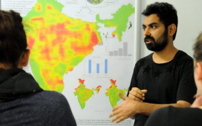
Our EAGLE students had to present their work as posters, reports or oral presentations at the end of the summer term and could show impressive achievements and results of small research projects.Some impressions of their oral and poster presentations can...
First EAGLE Midsummer Dialogue
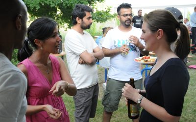
Beside participants from the University of Wuerzburg and the DLR, also many colleagues from companies and a variety of national and international research institutions joined this event. The midsummer dialogue was organized by the EAGLE students. The students were...
First EAGLE field methods course successfully accomplished
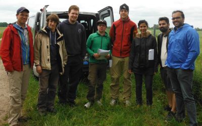
The first field methods course in our EAGLE MSc programme took place in the JECAM test site of DEMMIN-Germany (close to the city of Demmin in Mecklenburg-Vorpommerania) from 12.- 17.6.2017. Six EAGLE students, one colleagues of DLR, Dr. Erik Borg, and two lecturers,...
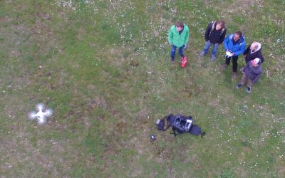
UAV application for remote sensing course started
The course on UAV application for Remote Sensing started successfully. The weather was good enough to do some first flights. In the next weeks and months more flights will be undertaken and data collected for different fields sites in order to gain more information...
application deadline in 7 days
The application deadline for the upcoming winter term is approaching. Apply within the next 7 days here: http://eagle-science.org/apply - application deadline is May 15th, further details about needed documents are listed on the application page. Learn within EAGLE...
course on object oriented remote sensing analysis
The new term started with the course “Object-oriented image analysis”. It is a hands-on seminar covering eCognition by Dr. Michael Thiel and Dr. Christian Geiss. Christian is an invited guest lecturer from DLR’s Remote Sensing Data Center (Department: Geo-Risks and...
application deadline for winter term 2017 is approaching
Applications for the EAGLE M.Sc. program are accepted until May 15th 2017 for the next winter term. The next application deadline will be only next year, again on May 15th 2018. You need the following documents for your application: a cover letter stating your...
news coverage of one of our students in the University press
One of our students, Pilar Endara, was interviewed by the news team of the University of Würzburg. She talked about her background, the reasons why she studied in Germany, her experiences and her plans for the future. Moreover her reasons why she studies EAGLE and her...
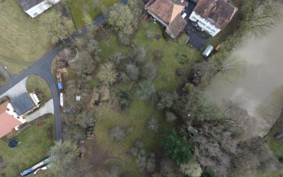
testing UAV and D-GPS application in the Steigerwald
one of our field sites in the Steigerwald For several upcoming EAGLE courses we visited potential field sites and tested our equipment. During this first field work of the year our UAV and D-GPS data collection were tested in the Steigerwald at the research station of...