Aim
Within this course EAGLE students are exposed to different disciplines and interdisciplinary research.In collaboration with biologists and conservationists new and established approached are discussed and explored by the students in order to define the research goal. The practical analysis is conducted by the students and presented with the collaborators being present.
Content
The students will be introduced to interdisciplinary research and the relevance of clear communication, deliverables and milestones. In a second step they will be linked to different collaborators from other fields and will have the task to define work packages that are feasible within the course time-frame. The actual data analysis will be done as well but the primary goal is not the data analysis but the communication with the other disciplines and being able to provide relevant spatio-temporal information for such a test interdisciplinary project.
Discussions
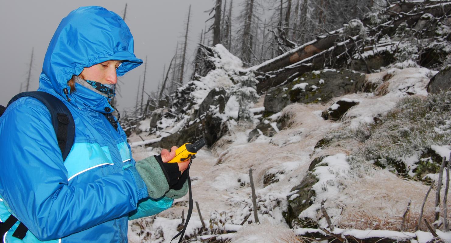
learning how other disciplines collect field data, what their properties are, what their research questions are
Planning
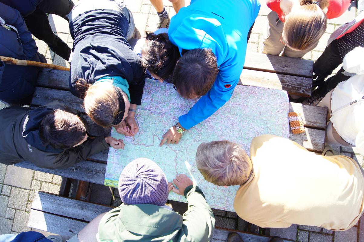
learning how to plan an interdisciplinary project
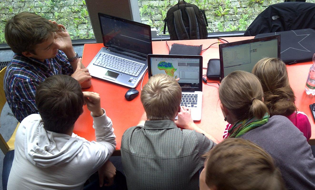
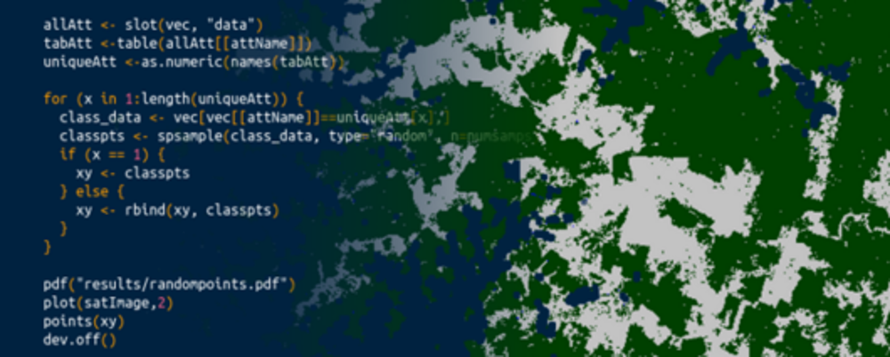
Coding
Present
present your research findings to the collaborators
General Course News and Updates
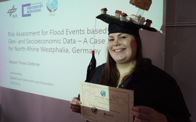
Sarah Nolting defended her M.Sc.
Congratulation to Sarah Nolting for successfully defending her M.Sc. thesis! Another interesting EAGLE M.Sc. thesis presented on flood risks and populations in urban environments.
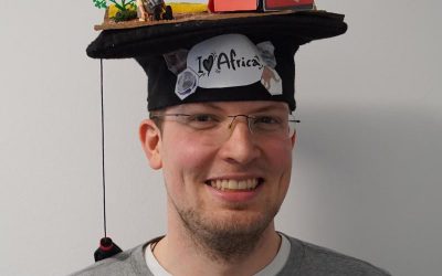
Congratulation to Johannes Loew for a successful M.Sc. defense
We congratulate Johannes Löw to a great M.Sc. defense within the EAGLE colloquium! Another great remote sensing M.Sc. thesis has been defended within the EAGLE program.
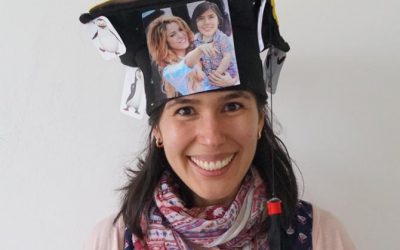
Congratulations to Pilar for a successful MSc graduation
Pilar Endara Pinillos succssfully defended her M.Sc. thesis within the EAGLE colloquium. Congratulations to Pilar!
M.Sc. defense of Sarah Nolting
Sarah Nolting will defend her M.Sc. thesis "Risk Assessment for Flood Events based on Geo- and Socioeconomic Data – A Case Study for North-Rhine Westphalia, Germany" on Wednesday 27th 2pm in room 0.004 OKW 86. from her abstract: "The world’s population has doubled...
M.Sc. defense by Johannes Löw
You are all invited to join the M.Sc. presentation by Johannes Löw. He will defend his M.Sc. thesis on Wednesday 20th of March at 2pm in room 0.004 in OKW 86. from his abstract:Since Sentinel-1 A and B have become fully operational, it is now possible to generate...
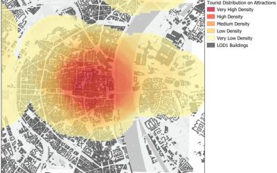
Pilar Endara Pinillos handed in her M.Sc. thesis
Pilar Endara Pinillos handed in her M.Sc. thesis "Flooding patterns and vegetation developments in the Orinoco flooded savannas of Colombia." Her M.Sc. defense will be on Wednesday 13th at 2pm in room 0.004 (OKW 86). The ecosystems that are present within Colombian...
Marcus Groll successfully defended his M.Sc. thesis
we congratulate Marcus Groll for his successful defense of this M.Sc. presentation “Deep learning for Instance Segmentation of bomb craters on historical aerial images of the Second World War ”. He has only a few days off before starting his new job as image data...

internship and innovation lab presentations
The following students will present next Tuesday (26th) at 2pm in room 0.004 their internships or innovation labs:Itohan-osa Abu (internship): Mangrove Mapping with TimeScan Data for Nigeria and an Analysis in Context of Coastal Gas Flaring Salim Soltani (internship):...
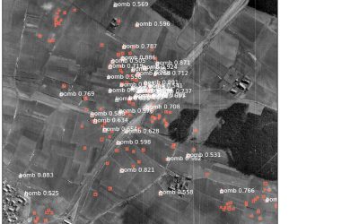
M.Sc. thesis handed in by Marcus Groll
Marcus Groll handed in his M.Sc. thesis "Deep learning for Instance Segmentation of bomb craters on historical aerial images of the Second World War " and will defend it next week. Abstract: During the Second World War (WWII) many air strikes were flown on German...

M.Sc. defense of Maninder Singh Dhillon
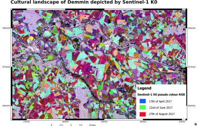
We congratulate Maninder who successfully defended his M.Sc. thesis “Comparing the performance of crop growth models using synthetic remote sensing data at DEMMIN, Germany” supervised by Martin Wegmann and Christopher Conrad.