Lecturer
Julia Rieder
ECTS
5 ECTS
Aim
The course provides a practical introduction to LiDAR technology and point cloud analysis. Students gain hands-on experience with LiDAR data, from acquisition principles to processing and interpretation, and learn how LiDAR supports applications such as terrain modelling, forestry, and others. The course emphasizes critical understanding of data quality, limitations, and real-world use cases
Content
This course provides an overview of the scientific field surrounding LiDAR as a key technology for three-dimensional Earth observation. The course covers the fundamentals of LiDAR remote sensing, point cloud data structures, and processing methodologies across platforms ranging from spaceborne and airborne systems to terrestrial and mobile laser scanning. Furthermore, the course highlights current developments and emerging analytical possibilities enabled by advanced point cloud analysis and discusses future potential as LiDAR technologies and methodologies continue to evolve and converge with related disciplines.
Coding
Software
Techniques
Content
General Course News and Updates

International Day of Women and Girls in Science
We would like to celebrate the International Day of Women and Girls in Science with you! It is celebrated annually on February 11th. This day aims to promote full and equal access to science for women and girls, as well as to recognize the achievements of women in...

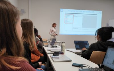
GRASS GIS introduced in our EAGLE MSc
The very powerful and versatile spatial analysis program, GRASS, is introduced today within our EAGLE spatial data software course. GRASS provides a wide variety of functions, but just a few possibilities such as VI calculation, time-series or Python programming in...

Introduction to Whitebox software
The Whitebox geospatial software offers a wide range of functionality which are partly also not available in other packages, such as hydrological analysis or Lidar processing. Our earth observation EAGLE students are learning diverse geospatial software packages in...

Internship Networking event
Our EAGLEs have to conduct two internship and like to do them in quite diverse fields. Their research interests range from dry ecosystems to mountains, from conservation to agriculture, from the Arctic to Africa and from Earth Observation companies to large research...
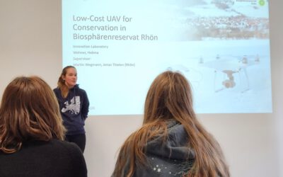
UAS application in a biosphere reserve
Our EAGLE Helena Wehner presented her work in the Rhoen biosphere reserve where she tested the potential of low cost consumer drones for conservation. She aimed at mapping animal tracks using photogrammetry approaches in snowy landscapes. The structure through...
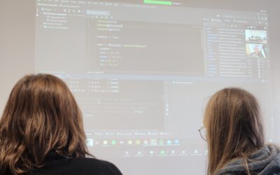
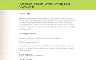
Online RStoolbox bug code sprint
Our new maintainer, konstantin Mueller, one of our EAGLE students, migrated the remote sensing R package to sf, terra/stars and got it back onto cran. However, as usual various bugs are still around and during our eagle remote sensing programming lecture the youngest...
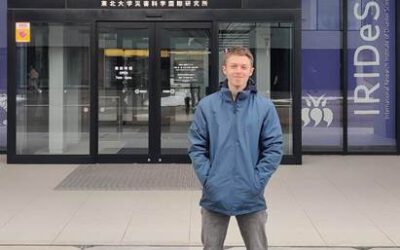
EAGLE student Konstantin Müller is a guest scientist in Japan
Our EAGLE student Konstantin Müller is a guest scientist at The International Research Institute for Disaster Science (IRIDeS) in Japan The IRIDeS is dedicated to advancing research and understanding in the realm of disaster science. Situated in Japan, IRIDeS plays an...
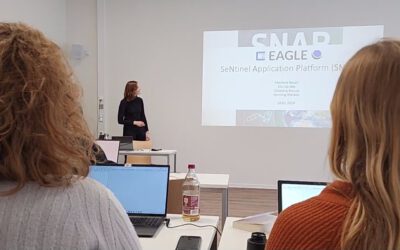
EAGLEs learn SNAP
Various very specific scientific software packages are developed to serve specific purposes like the SNAP tools for Sentinel fleet data processing. Our EAGLEs have to learn the wealth of relevant software packages for our field of research and get to know the pros and...
our EAGLEs train SAGA GIS
Within our EAGLE MSc program our students are learning quite a variety of programming environments and software programs, however due to the high diversity of available (open-source) programs our students have to apply their spatial research skills to learn a totally...
RStoolbox now maintained by our EAGLE Konstantin Müller
we are very happy that our EAGLE Konstantin Müller took over the maintenance and further development of the remote sensing R stats package RStoolbox. Of course the "older" developers like Jakob Schwalb-Willmann (also an old EAGLE) and Benjamin Leutner (also our old...