Lecturer
Julia Rieder
ECTS
5 ECTS
Aim
The course provides a practical introduction to LiDAR technology and point cloud analysis. Students gain hands-on experience with LiDAR data, from acquisition principles to processing and interpretation, and learn how LiDAR supports applications such as terrain modelling, forestry, and others. The course emphasizes critical understanding of data quality, limitations, and real-world use cases
Content
This course provides an overview of the scientific field surrounding LiDAR as a key technology for three-dimensional Earth observation. The course covers the fundamentals of LiDAR remote sensing, point cloud data structures, and processing methodologies across platforms ranging from spaceborne and airborne systems to terrestrial and mobile laser scanning. Furthermore, the course highlights current developments and emerging analytical possibilities enabled by advanced point cloud analysis and discusses future potential as LiDAR technologies and methodologies continue to evolve and converge with related disciplines.
Coding
Software
Techniques
Content
General Course News and Updates
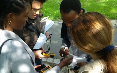
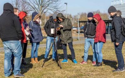
EAGLE students learn remote sensing field work
The course "from field work to spatial data" by Tobias Ullmann and Martin Wegmann is covering the whole range of field campaign planning and especially training all necessary methods such as GPS handling, coordinate systems, setting waypoints or finding locations. In...

MSc thesis started by Jakob Schwalb-Willmann
Jakob Schwalb-Willmann just started his M.Sc. thesis titled "A deep learning movement prediction model using environmental data to identify movement anomalies". He will combine animal movement and remote sensing data in order to develop a generic, data-driven DL-based...
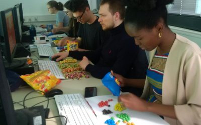
EAGLE students coding with sweets
Today our EAGLE students applied data munging, pipes, plotting and statistics using colour distribution of sweets. They specifically used the dplyr, ggplot, kableExtra and others to compute derivatives, rearrange the data, plot it and run statistics on colour...
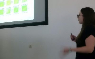
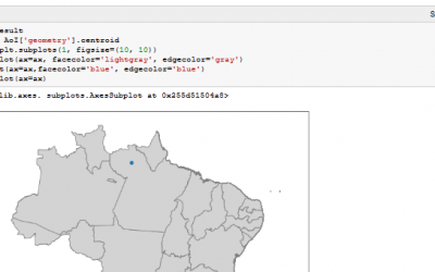
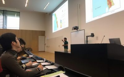
Final presentations of the remote sensing programming course
The final project presentations of the spatial coding course by the EAGLE students revealed quite some impressive analysis achieved within the last couple of months. All analysis were done using R and presentations created within R using knitr. The aim was to run a...
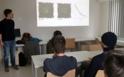
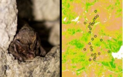
internship and innovation laboratory presentations
The following internship and innovation laboratory projects were presented today: Karsten Wiertz did his internship at the Białowieza national park on "Spatio-temporal analysis of tree mortality and gaps in the Białowieza Forest using high resolution imagery". Jakob...
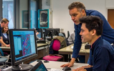
Spatial Python block course
Last week Steven Hill and Thorsten Dahms gave a course that introduced EAGLE students to Python-based spatial data analysis. The advantages and challenges of different python libraries, data sets and methods were covered in hands-on exercises and also discussed...
Interdisciplinary course in the Bavarian Forest
The Bavarian Forest and the Bohemian Forest together form the largest contiguous forest area in central Europe, which is of an extraordinary importance for the protection and maintenance of biological diversity. Since 1970, a large area of the forest is protected as a...
One week courses on hyperspectral and time-series analysis
In the past few weeks various block courses by colleagues from DLR have taken place. Divers topics how remote sensing can be used, which methods have to be applied and how to put it into practice were covered by our colleagues Hannes Taubenböck, Martin Bachmann and...
Urban Geography Course by Hannes Taubenböck
Hannes Taubenböck from DLR discussed with our EAGLE students the application of remote sensing applications within urban research.
Scientific Presentation of Earth Observation Applications
As every term our students could participated in a scientific presentation course where they learned how to prepare, design and defend a scientific talk. Beside the theoretical part many practical exercises were part of this course and a final presentation in a large...