
Aim
Designing scientific graphics that provide all necessary information without being too packed, focusing on the essential message and being able to actually create such graphics will be covered In this class. All necessary tools and and approaches to create adequate figures and maps will be covered.
Content
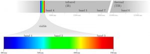
figure from the book “Remote Sensing and GIS for Ecologists” by Wegmann, Leutner and Dech, created with tikz
General guidelines of scientific graphics and maps will be covered based on e.g. Tufte and followed by practical implementation of graphic ideas, as well as critical evaluation of the results. Only open source program will be used such as R or tikz/pgf and students will have the opportunity to work specifically on certain scientific graphics or maps using e.g. ggplot2 and explore the potential and limits of good scientific graphs. Good map designs will be discussed as well and common mistakes will be pointed out. After this course you will be capable to create your own graphics for a specific scientific purpose e.g. your M.Sc. thesis.
Coding
Software
Techniques
Content
General Course News and Updates
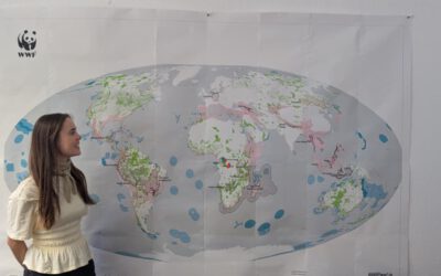
From Data to Impact: Viktoria Veith’s Internship at WWF
Understanding the environmental consequences of conflict is one of the most pressing challenges in contemporary Earth observation. During her internship at WWF, EAGLE MSc student Viktoria Veith has been working at the intersection of remote sensing, policy, and...
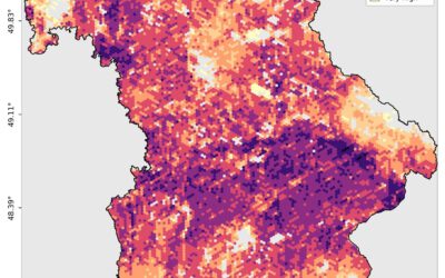
EAGLE MSc Defense: Developing a Farmland Habitat Biodiversity Indicator for Bavaria (in line with OECD Guidelines)
On March 31, 2026, Suriya Elango will present his Master Thesis on " Developing a Farmland Habitat Biodiversity Indicator for Bavaria (in line with OECD Guidelines)" at 12:00 in seminar room 3, John-Skilton-Str. 4a. From the abstract: Farmland Biodiversity is...
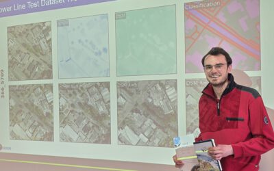
Successful MSc Defense: Advancing Synthetic High-Resolution Remote Sensing
We are pleased to congratulate Georg Starz on the successful defense of his MSc thesis within the EAGLE programme. His work, titled “Synthetic High-Resolution Remote Sensing Image Generation – A Comparative Study of Model Training, Surface Data Variability and...
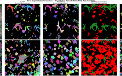
EAGLE Innolab Presentation: Very high-resolution UAV-based Weed Segmentation: Data Processing, Modelling, and Exploration of Vision-Language Models for Agriculture
On April 28, 2026, Hanna Schulten will present her Innolab results on "Very high-resolution UAV-based Weed Segmentation: Data Processing, Modelling, and Exploration of Vision-Language Models for Agriculture" at 12:00 in seminar room 3, John-Skilton-Str. 4a. From the...
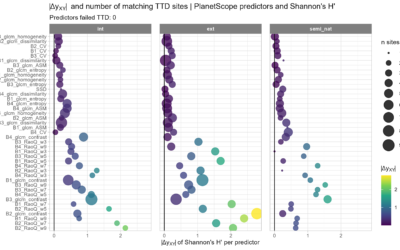
EAGLE MSc Defense: Assessing the potential of multispectral UAS and PlanetScope imagery for estimating vegetation structure and biodiversity metrics in urban green spaces
On March 27, 2026, Max Merzdorf will present his Master Thesis on " Assessing the potential of multispectral UAS and PlanetScope imagery for estimating vegetation structure and biodiversity metrics in urban green spaces" at 12:30 at the meeting room 01.B03 (first...
EAGLE Students in Kruger National Park: Internship at SANParks
EAGLE MSc students Sebastian Rothaug and Clemens Schömig are currently completing an internship/InnoLab with SANParks in Kruger National Park, South Africa. During their stay, they are contributing to a project on fire and drought dynamics in savanna ecosystems. Their...
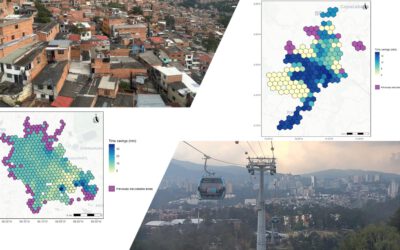
EAGLE MSc Defense: Assessing the accessibility improvements, public perception and potential beneficiaries of cable car systems in Mexico City and Medellin
On March 26, 2026 Angie Torres Lopez will present her Master Thesis on " Assessing the accessibility improvements, public perception and potential beneficiaries of cable car systems in Mexico City and Medellin" at 14:00 in seminar room 3, John-Skilton-Str. 4a. From...
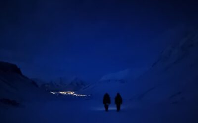
EAGLE M.Sc. Students doing Arctic Internship
This spring, Marlene and Aoibhin, two students from our EAGLE M.Sc. program have started their research internship in the high Arctic on Svalbard. Hosted by Prof. Larissa Beumer at the University Centre in Svalbard (UNIS), the students are gaining hands-on experience...
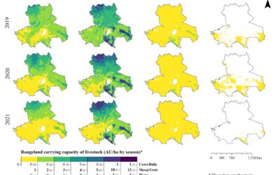
EAGLE MSc Defense: High-Resolution Seasonal Rangeland Carrying Capacity in Central Asia Using Sentinel-2 and the CASA Model
On March 19, 2026, Luis David Almeida Famada will present his Master Thesis on " High-Resolution Seasonal Rangeland Carrying Capacity in Central Asia Using Sentinel-2 and the CASA Model" at 15:00 in seminar room 3, John-Skilton-Str. 4a.High-Resolution Seasonal...
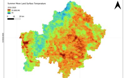
EAGLE MSc Defense: Satellite-Based Assessment of Geo-Climatic Variability in Lower Franconia: Identifying Climate-Related Risks
On March 18, 2026, Jyoti Biswas will present her Master Thesis on " Satellite-Based Assessment of Geo-Climatic Variability in Lower Franconia: Identifying Climate-Related Risks" at 13:00 in seminar room 3, John-Skilton-Str. 4a. From the abstract: The study examines...