
Aim
The potential and challenges of Unmanned Aerial Vehicles for monitoring our environment is covered using theoretical as well as practical approaches.
Content
In recent years, the use of small Unmanned Aerial Vehicles (UAV, UASs or also called Drones) inceased to map and monitor our environment at unprecedented detail. The development of new multispectral instruments on UAVs have given the remote sensing community exciting opportunities to acquire new data. With these new opportunities also new challenges such as sensor calibration, georeferencing as well as processing workflows, calibration/validation, and derivation of relevant land cover information. The course will cover theory and practice to apply UAVs in environmental research and its use for remote sensing analysis.
Coding
Software
Techniques
Content
General Course News and Updates
Radiometric calibration, speckle reduction, geometric and terrain correction are essential preprocessing steps for SAR data. Within an innovation laboratory you will explore the different calibration and data preparation techniques for ground detected and single look...
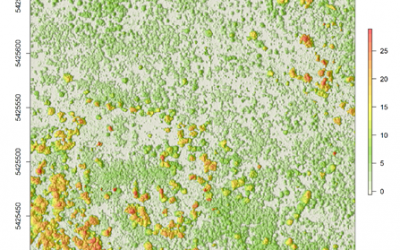
Surface model creation from multi-source remote sensing data
Nowadays there are plenty of 3D data sources which offer the possibility to model and monitor structural attributes of the landscape via the derivation of terrain, surface and canopy models. The core idea of this research project within an innovation laboratory is to...