
Aim
Aim of this course is to provide you with an overview on geographic processes of urbanization, the related demographic and structural changes of cities, and data analyses methods using remote sensing data for applications in urban geography.
Content
Humankind is within its largest migration ever: from rural areas into cities. The drivers of this global process of urbanization from demographic to economic and the related structural changes cities are facing will be discussed in this course. Remote sensing is one crucial data source in this dynamic transformation and its products are highly relevant for urban planning, as well as environmental management. Within this course different approaches and techniques are covered focusing on deriving relevant information about urbanized areas on different levels of detail. Uni-temporal-, multi-temporal-, and time series based image classification, segmentation, the analyses of point patterns, GIS analyses to assess spatial context and dependencies, as well as analyses in the 3D domain will be addressed in this course. This will be done providing and discussing example applications from different regions globally (e.g. urban sprawl analysis of megacities, the development of new dimensions of urban landscapes such as mega-regions, the rearrangement of business districts within the urban landscape, etc.). You will learn what capabilities Earth observation data, methods and products have for urban research and applications and how to design remote sensing based urban analysis, how to avoid caveats, troubleshoot errors and interpret the results.
General Course News and Updates
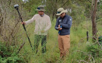
EAGLE Internship Presentation: Fire and drought research in savanna ecosystems – Kruger National Park
On June 16, 2026, Sebastian Rothaug and Clemens Schömig will present their internship results on " Fire and drought research in savanna ecosystems – Kruger National Park" at 12:00 PM in seminar room 3, John-Skilton-Str. 4a. From the abstract: Climate change is...
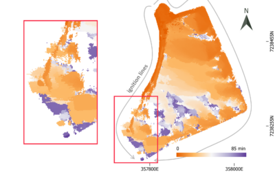
EAGLE MSc Defense: Feasibility of Unoccupied Aerial System-Based Active Fire Monitoring in African Savannas
On June 09, 2026, Anna Bischof will present her Master Thesis on " Feasibility of Unoccupied Aerial System-Based Active Fire Monitoring in African Savannas" at 12:00 in seminar room 3, John-Skilton-Str. 4a. From the abstract: Fire is a fundamental Earth system process...
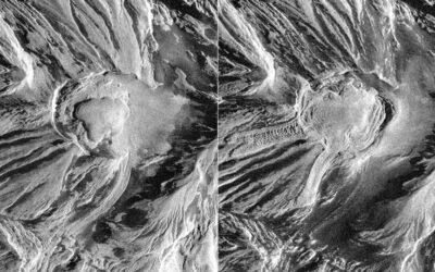
EAGLE Innolab Presentation: Temporal Analysis of Lava Dome Morphology and Crevasse Development at Great Sitkin Volcano
On June 02, 2026, Daniel Voellner will present his Innolab results on " Temporal Analysis of Lava Dome Morphology and Crevasse Development at Great Sitkin Volcano" at 12:00 in seminar room 3, John-Skilton-Str. 4a. title of presentation: From the abstract: Volcanic...
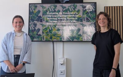
Successful MSc Defense by Laura Obrecht
At the recent EAGLE MSc defenses, Laura Obrecht presented her thesis on the detection of grassland mowing events using Sentinel-1 InSAR coherence and deep learning approaches. Her work, titled “Detektion von Grünlandmahd mit Sentinel-1 InSAR Coherence und einem Deep...
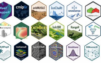
First-semester EAGLE students deliver an impressive suite of R packages
One of the most encouraging signs of a strong Earth Observation curriculum is when students move beyond learning existing tools and start building their own. In their very first semester of the EAGLE MSc program, our students did exactly that: developing a diverse and...
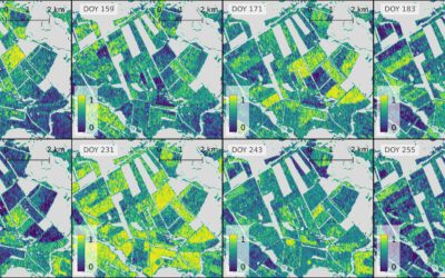
EAGLE MSc Defense: Evaluating the Potential of a Deep Learning Framework for Detecting Mowing Events in German Grasslands with Sentinel-1 InSAR Coherence
On May 22, 2026, Laura Obrecht will present her Master Thesis on " Evaluating the Potential of a Deep Learning Framework for Detecting Mowing Events in German Grasslands with Sentinel-1 InSAR Coherence" at 11:00 a.m. in room 01.B.03 (EORC meeting room 1st floor). From...
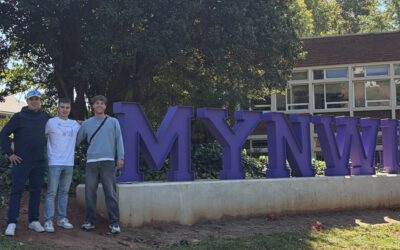
From Kruger to Potchefstroom: Reconnecting with South African EAGLE
After completing their internship in Kruger National Park, EAGLE students Sebastian and Clemens were not quite ready to leave South Africa behind. Instead of heading straight home, they reunited with their South African EAGLE friend, Charl Strydom, for a road trip...
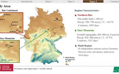
Celebrating Dr. Aida Taghavi: An EAGLE Graduate’s Successful PhD Defense
We are delighted to congratulate our former EAGLE M.Sc. student, Dr. Aida Taghavi, on the successful defense of her PhD thesis, “Multi-Sensor Soil-Moisture Estimation and Freeze–Thaw Detection across Alpine Grasslands of the Tibetan Plateau, Peatland Permafrost in...
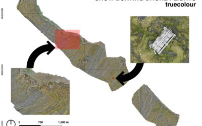
EAGLE Internship Presentation: Remote sensing for Ecological Applications in the High Arctic
On April 13, 2026, Clara Vydra will present her internship results on " Remote sensing for Ecological Applications in the High Arctic" at 15:30 in seminar room 3, John-Skilton-Str. 4a. From the abstract: This internship focused on supporting Master students in their...
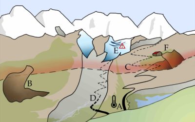
EAGLE MSc Defense: Current Status, Trends, and Future Challenges of the Alpine Cryosphere, Illustrated by an Example from the Hohe Tauern National Park
On April 27, 2026 Clara Vydra will present her Master Thesis on "Current Status, Trends, and Future Challenges of the Alpine Cryosphere, Illustrated by an Example from the Hohe Tauern National Park" at 14:00 in seminar room 3, John-Skilton-Str. 4a. From the abstract:...