Lecturer
Jakob Schwalb-Willmann
ECTS
5 ECTS
Aim
In this lecture you will gain a broad overview of the applications of remote sensing. Examples from different disciplines and applied Earth Observation projects will provide your with a comprehensive understanding of if, where and how remote sensing can contribute to qualitative and quantitative assessments of the cryosphere, forest ecosystems, agro-ecosystems, the coastal zone and urban ecosystems; amongst others. We will evaluate the potential of passive and active sensor systems and adress the advantages and shortcomings of existing sensors in the optical / mutlsispectral, thermal and microwave domain.
Content
This lecture provides knowledge on applications of Earth Observation with a focus on remote sensing of the land surface. Which research questions of different disciplines can be answered by the means of Earth Observation? What are the main approaches? The module links up remote sensing measurements to geo- and biophysical parameters required for further geoanalysis. Commonly used methodological approaches for the derivation of the different parameters are presented. Examples include amongst others applications in geography, environmental planning, ecology, biology, oceanology, soil science, geology, atmospheric science, but also e.g. pollution control (monitoring) and natural resource management. In addition, the module outlines selected examples, how remote sensing technology can be transferred to the workplace of professionals also beyond science, e.g. via the use of geoinformation systems.
General Course News and Updates
M.Sc. handed in on animal movement and remote sensing
The M.Sc. thesis “Can animal movement and remote sensing data help to improve conservation efforts?” by Matthias Biber M.Sc. student within the Global Change Ecology program handed in his thesis. He explored the potential of remote sensing data to explain animal...
MSc topic on wetland modeling
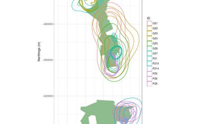
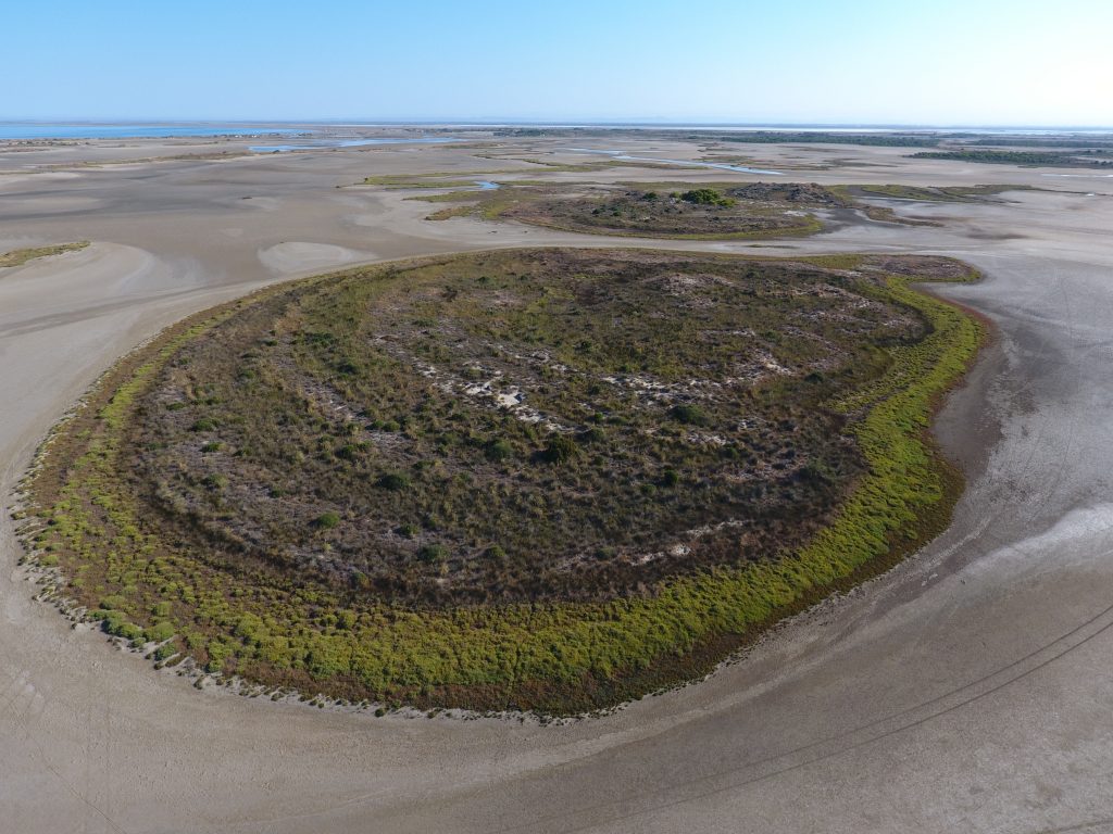
M.Sc thesis (+ a two-month internship): Agent-based modeling to understand Mediterranean wetland (former saltworks) dynamic based on multiple remote sensing data The Camargue’s former saltworks is a 6500-ha site located at the Mediterranean coast in southern France....
EAGLE students webpage is now online
Our EAGLE students setup their own webpage at http://students.eagle-science.org! Read about their background, motivation and expectations concerning the EAGLE M.Sc. study program. Moreover, the EAGLE students will post news about ongoing social as well as scientific...
EAGLE is part of the Copernicus Academy Network
We are happy to receive the notification that the EAGLE training program is endorsed by the Copernicus Academy Network. This network aims to foster the use and benefits of Copernicus. The EAGLE program applied within the DLR and University Wuerzburg network to be part...
EAGLE students visit DLR-EOC
Our EAGLE 2016 students visited the DLR-EOC last Friday and got a very good overview of the work done by the scientists at DLR. Many different topics were covered and nearly all applications of applied earth observation research done at DLR-EOC were presented. ...
M.Sc. started on monitoring protected areas
Henrike Schulte to Bühne started her M.Sc. „Quantifying landcover change using remote sensing data in a transboundary protected area“ in cooperation with the Zoological Society of London, Dr. Nathalie Pettorelli within the Global Change Ecology study program. Her...
M.Sc. thesis on animal movement interactions and the environment
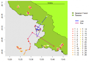
Joe Premier submitted his M.Sc. thesis on “The Lynx Effect: Behaviour of Roe Deer in the Presence of Lynx in a European Forest Ecosystem” within the Global Change Ecology M.Sc. program. He was co-supervised by Marco Heurich from the Bavarian Forest Nationalpark....
EAGLE news on DLR website
Our young EAGLEs are covered by the DLR news section! The news article covers the background of the EAGLE M.Sc. program and welcomes our new students. Great to see that our colleagues at DLR are looking forward to meet the new EAGLEs and are eager to have them as...
The 2016 EAGLEs
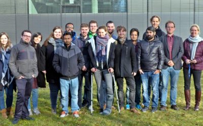
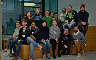
Our EAGLEs in 2016: Johannes Löw. Sarah Nolting, Marcus Groll, Bharath Selvaraj, Sebastian Roersch, Ahmed Saadallah, Marina Reiter, Pilar Endara Pinillos, Sazu Shahjahan, Ahmed Fowad, Jakob Schwalb-Willmann, Julia Sauerbrey, Louis Freytag, Karten Wiertz, Kamrul Islam...
EAGLE 2016 welcome
On Monday 17th of October we welcomed our new EAGLE students. The EAGLEs in 2016 are from Afghanistan, Bangladesh, Columbia, Egypt, India, Iran, Pakistan, Sweden and Germany. After the official welcome by all lecturer and the study program coordinator Christopher Conrad and the head of the remote sensing department and director of the DLR-DFD, Stefan Dech,

